
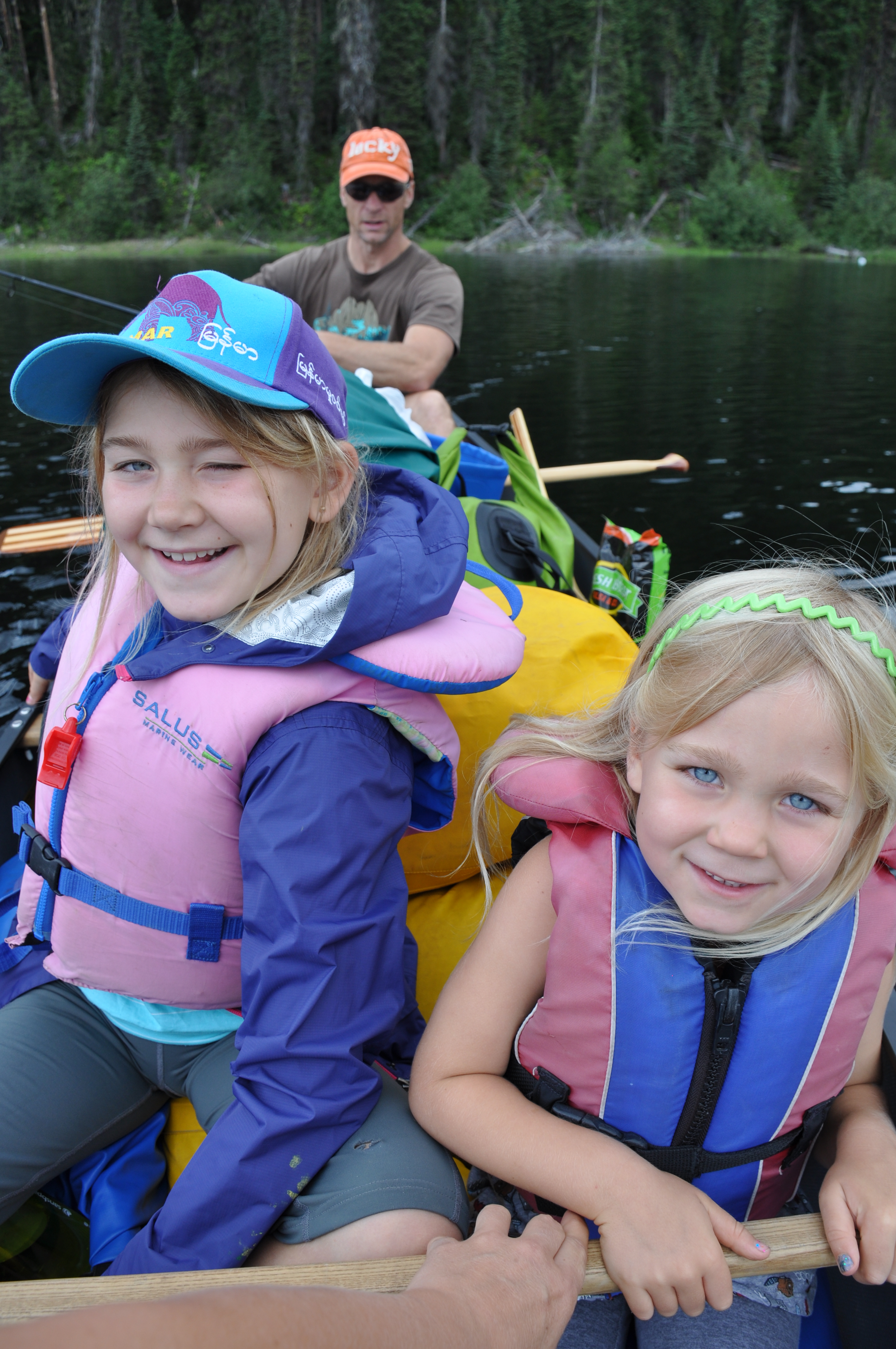
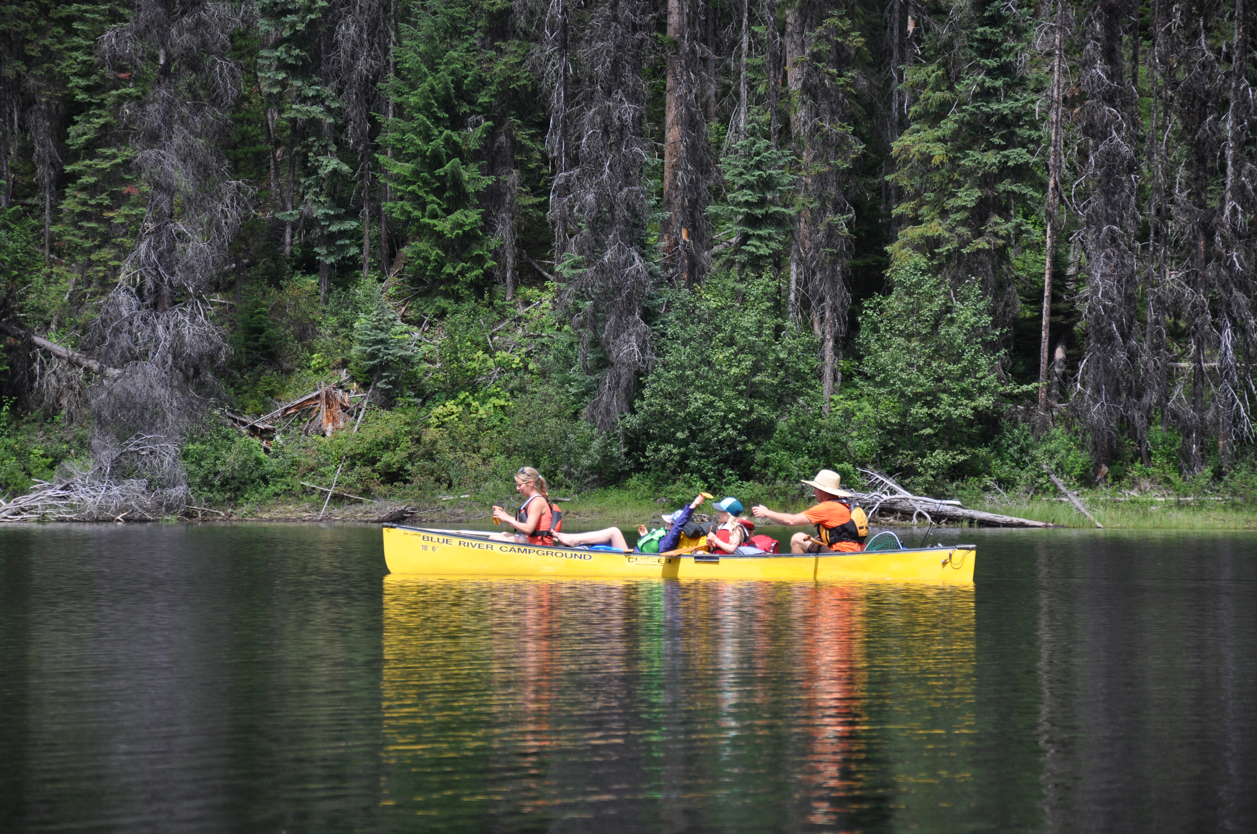
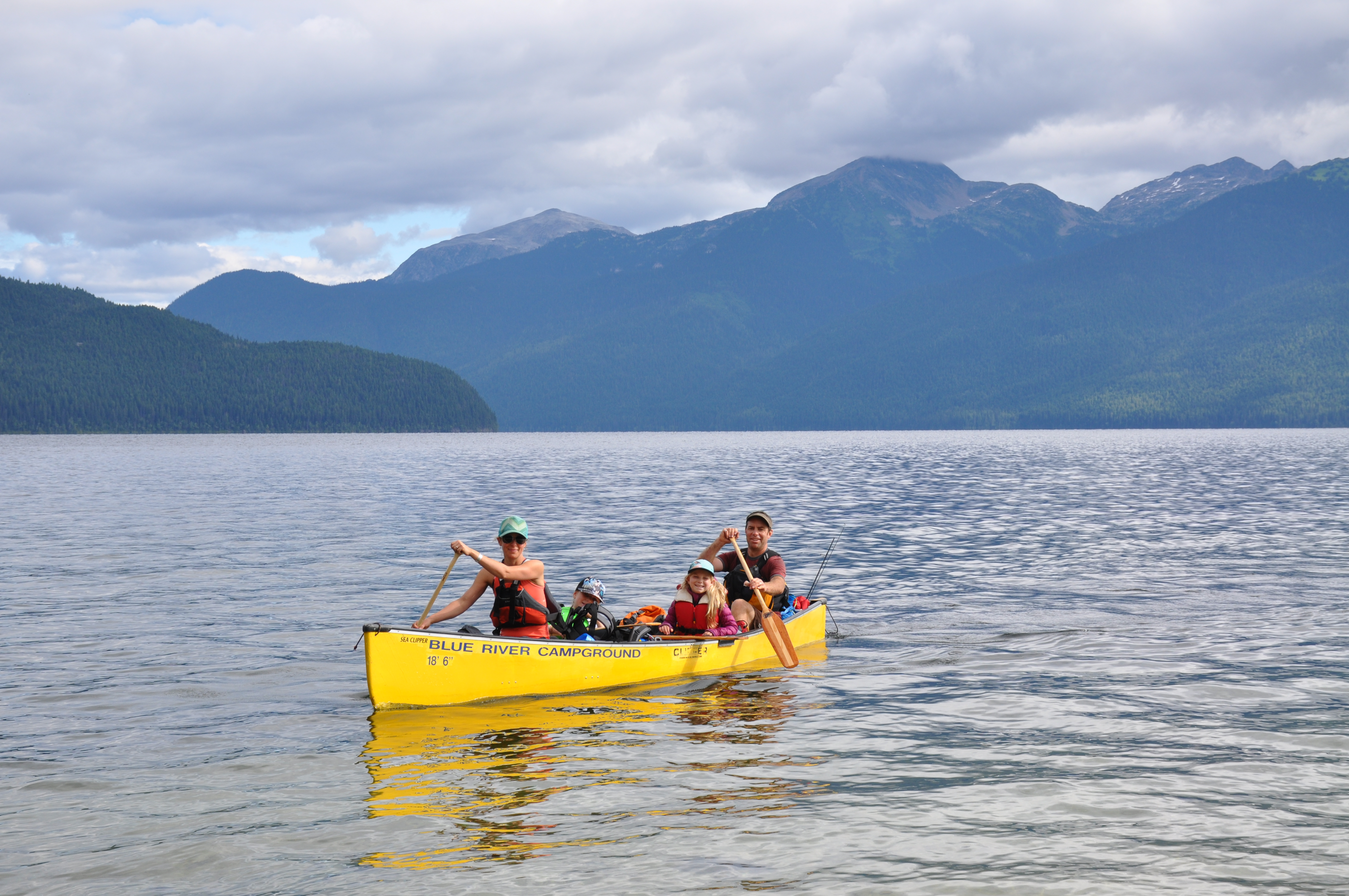

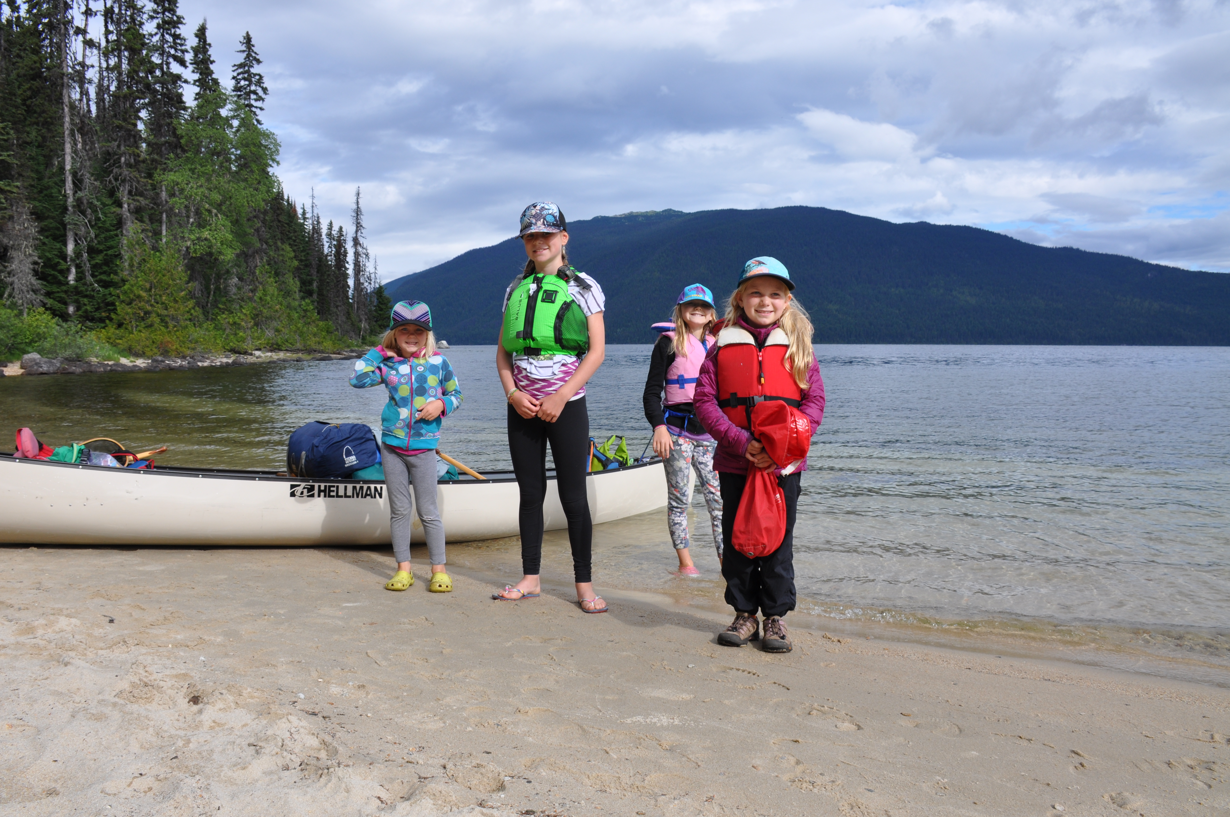
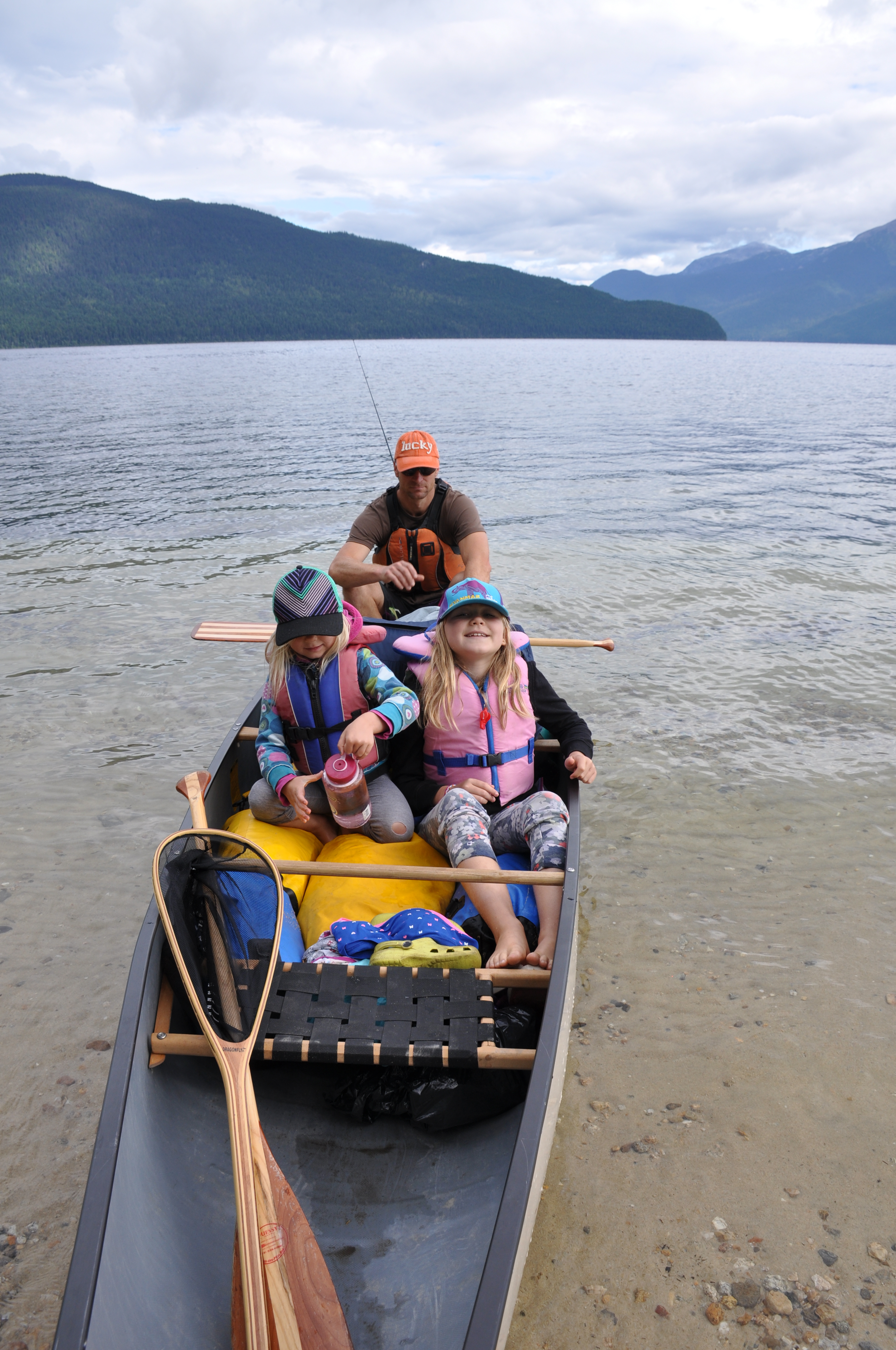
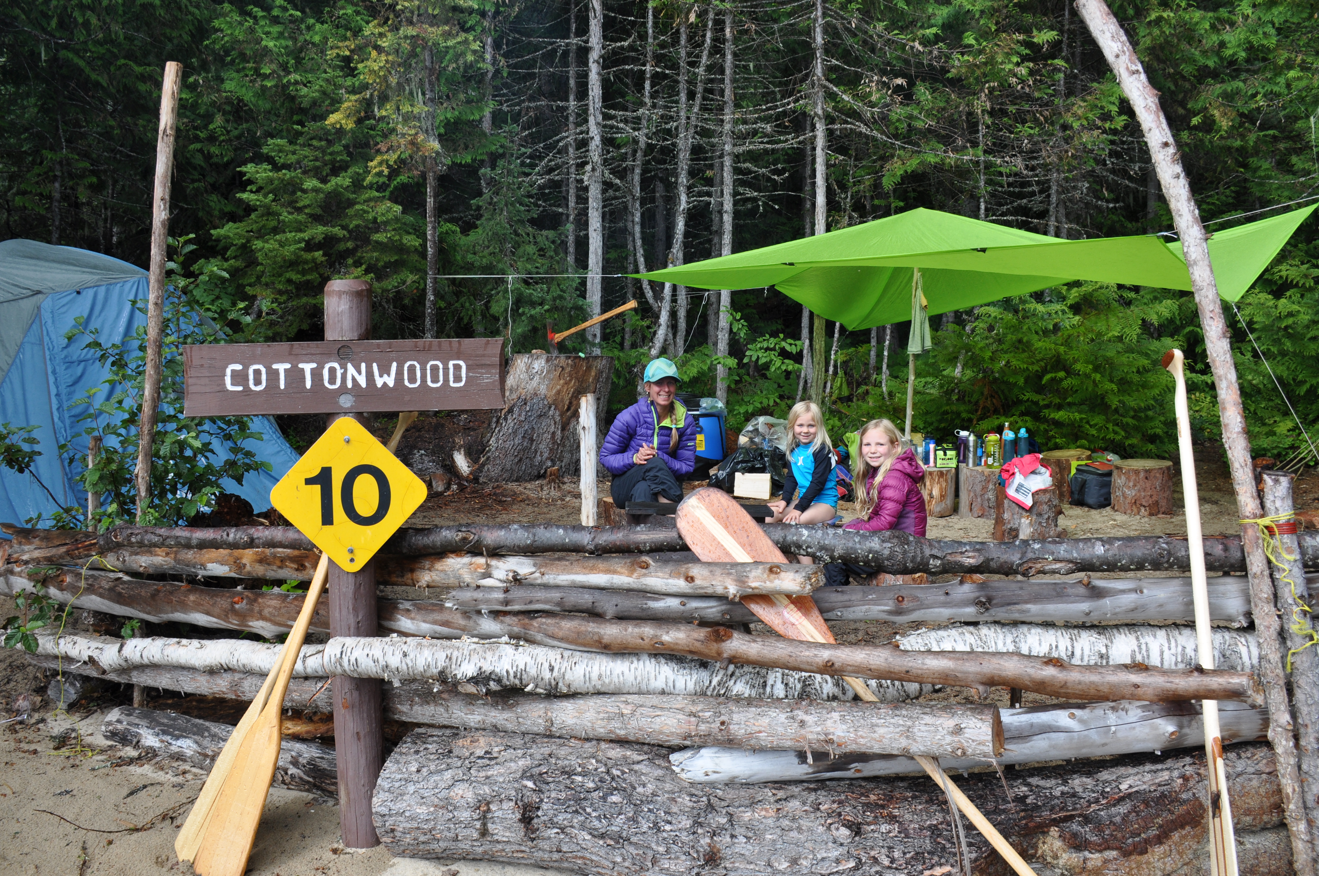

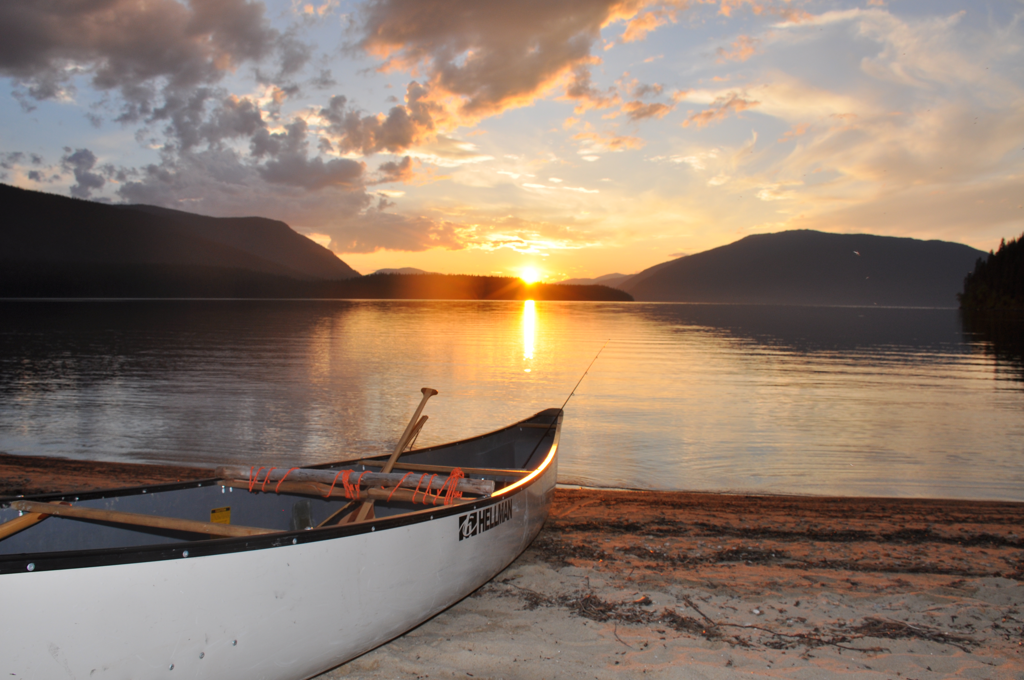
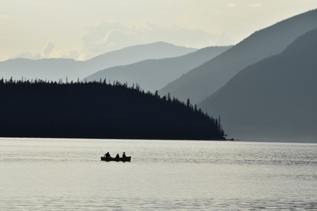


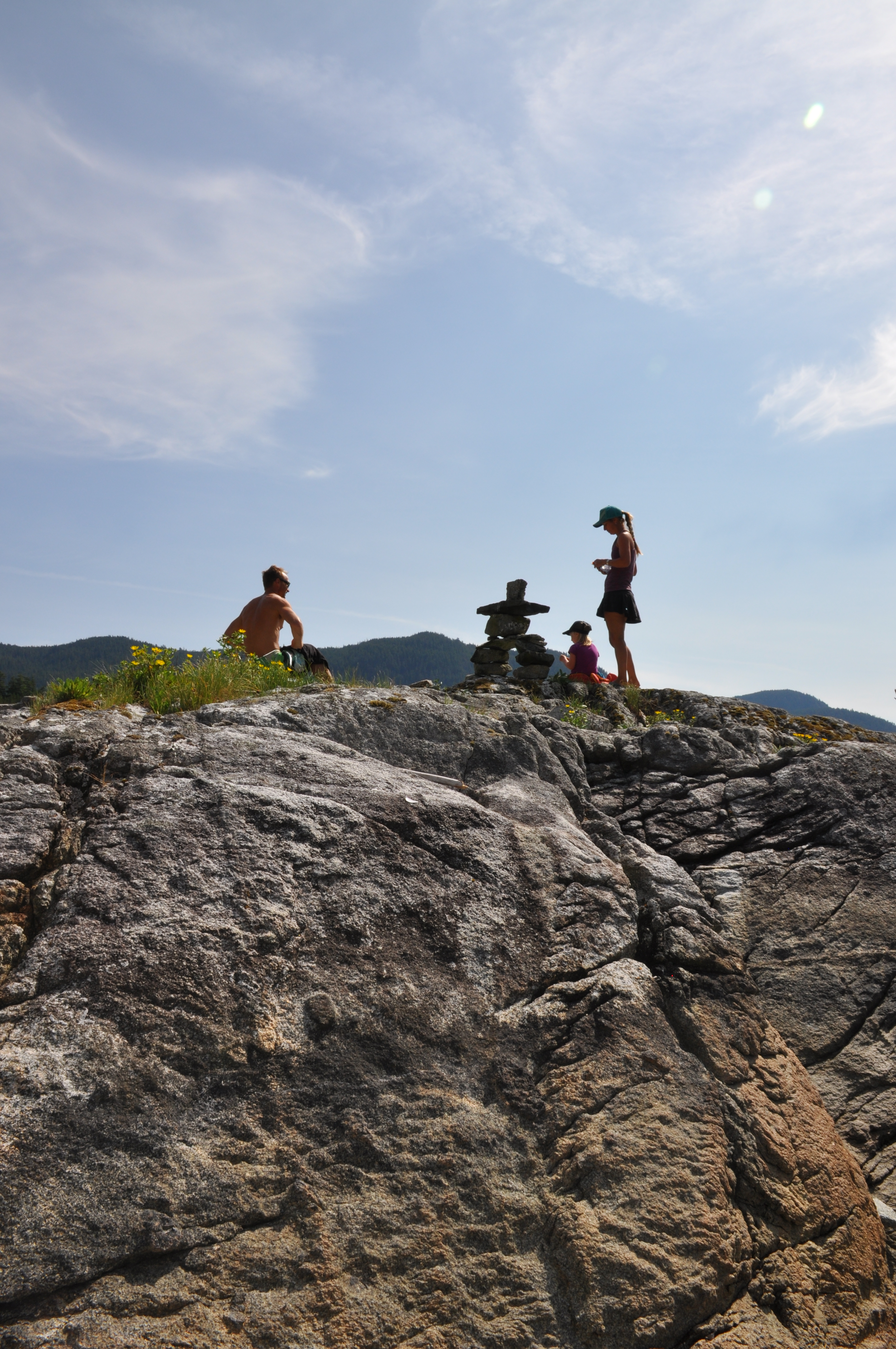
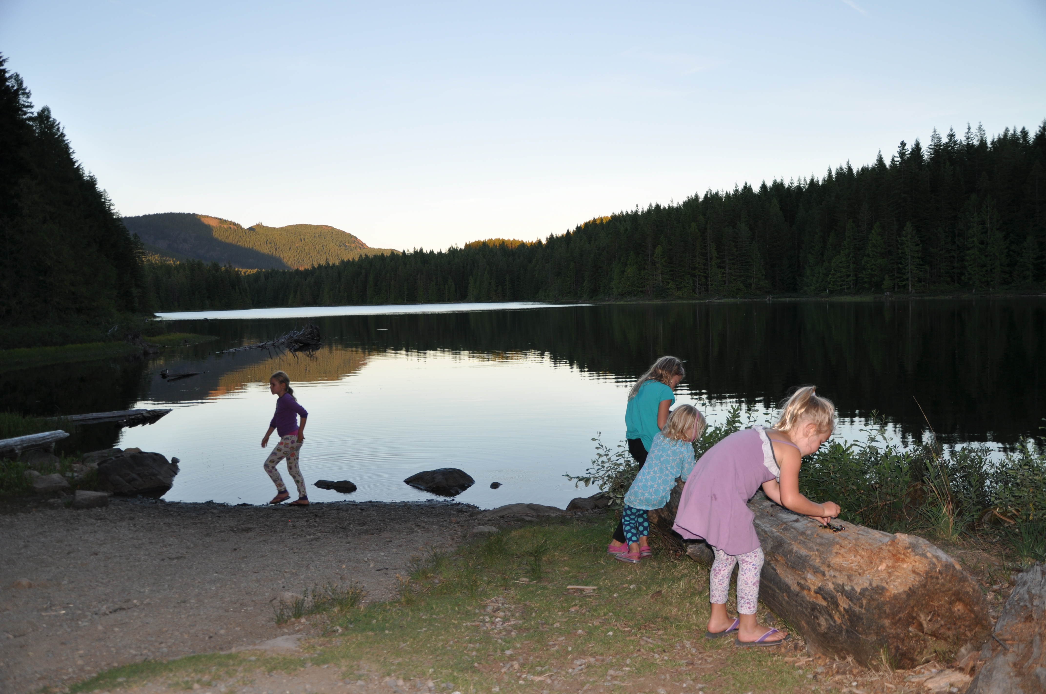
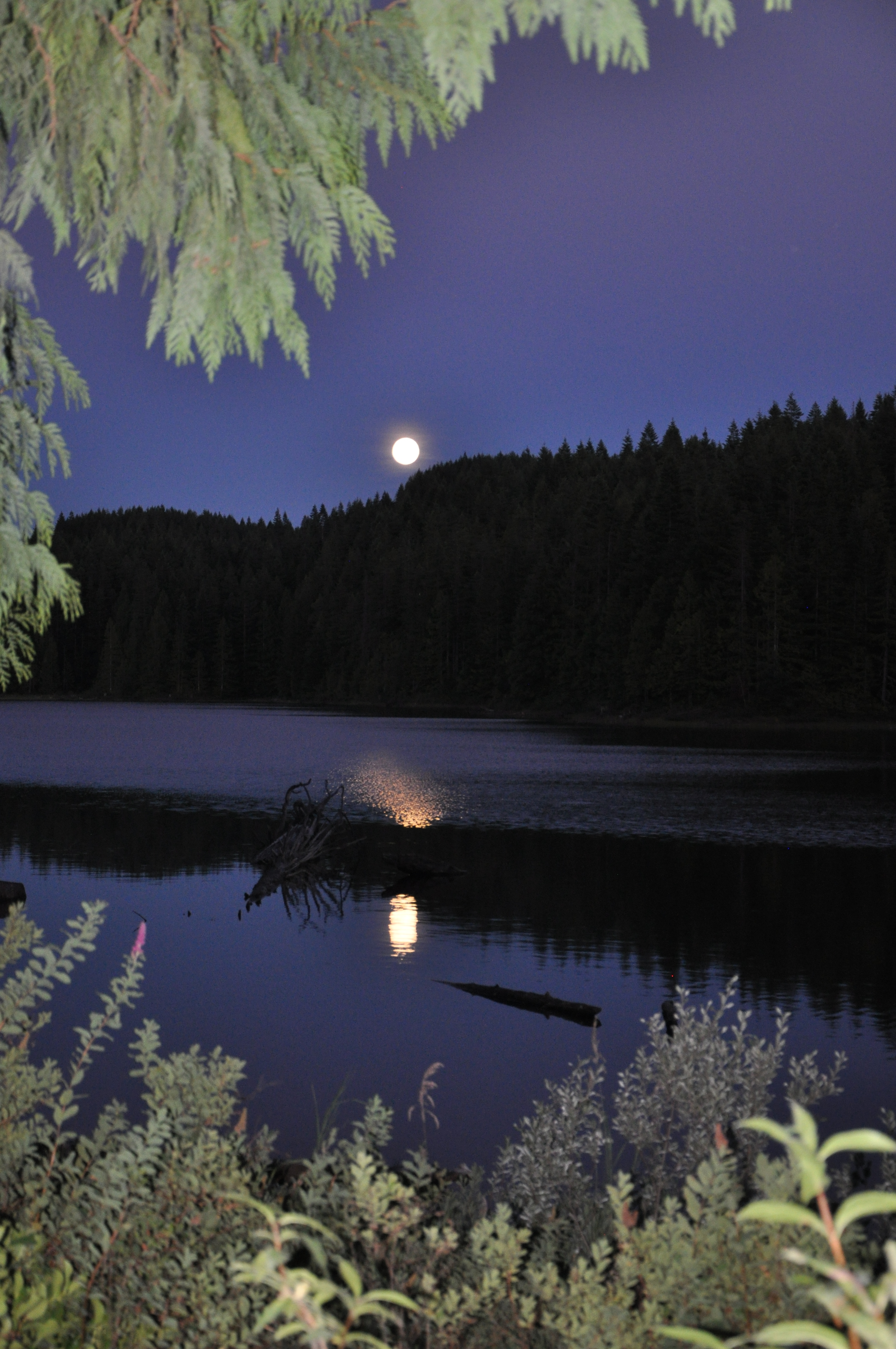
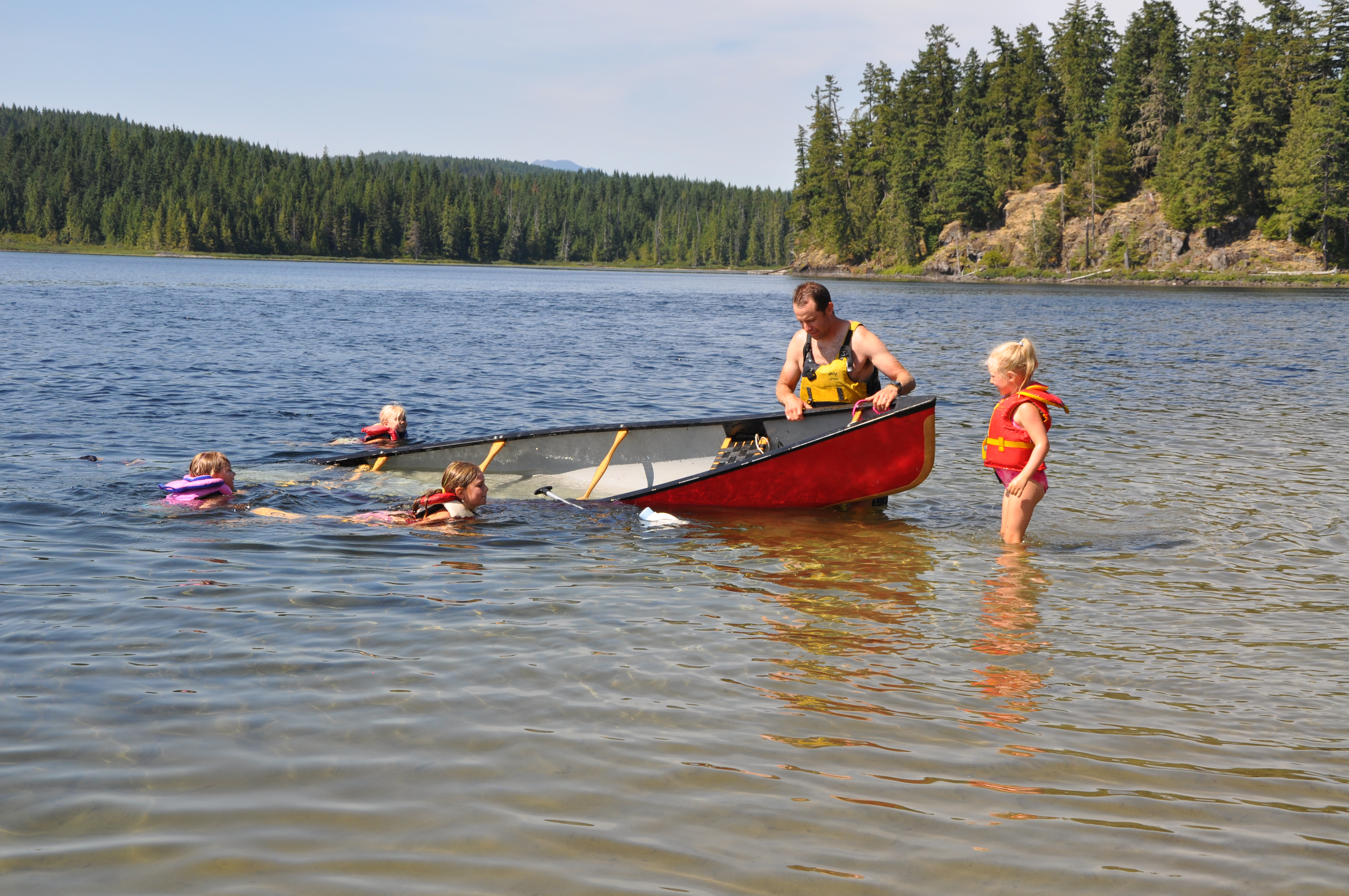
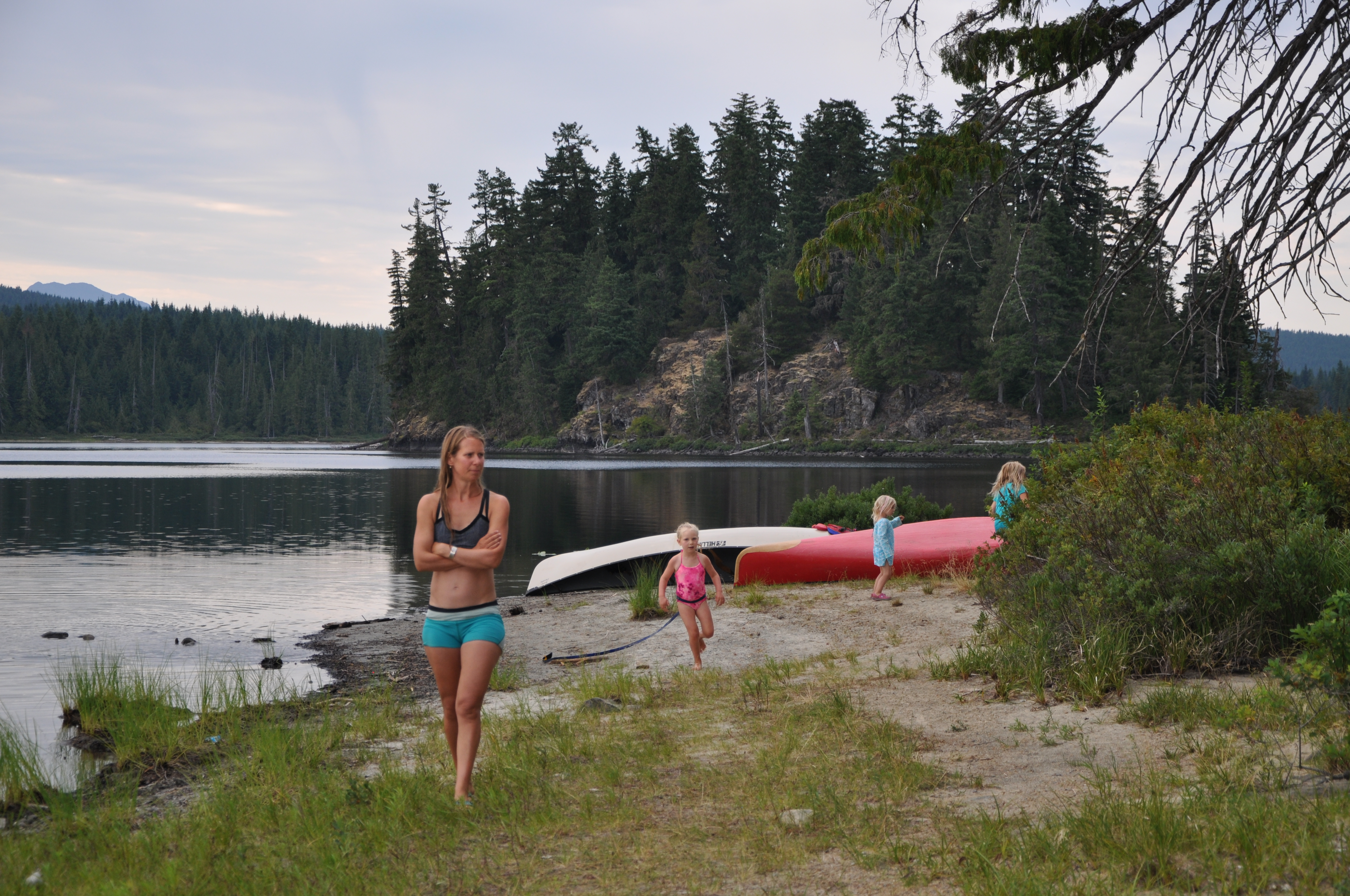
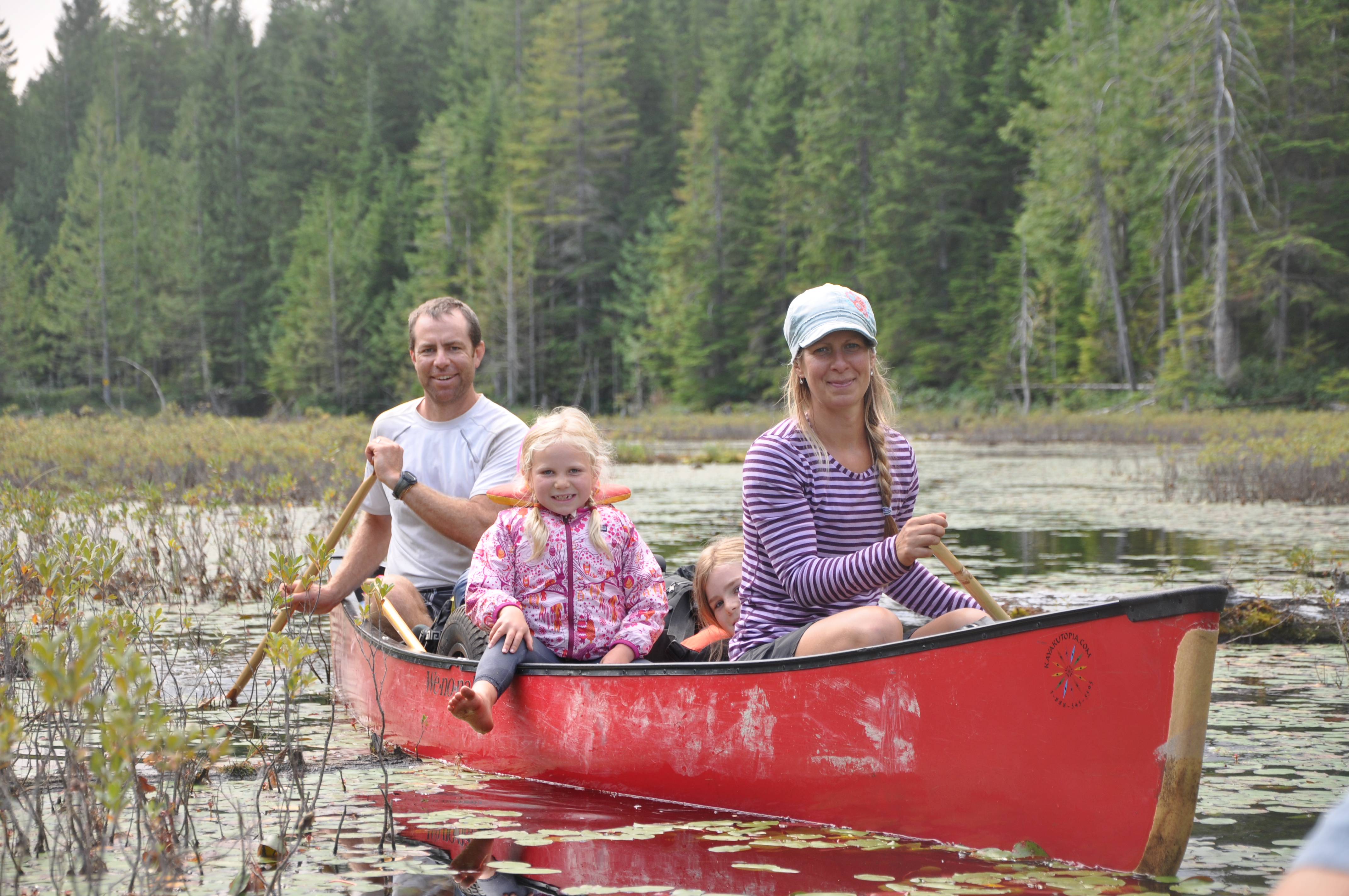
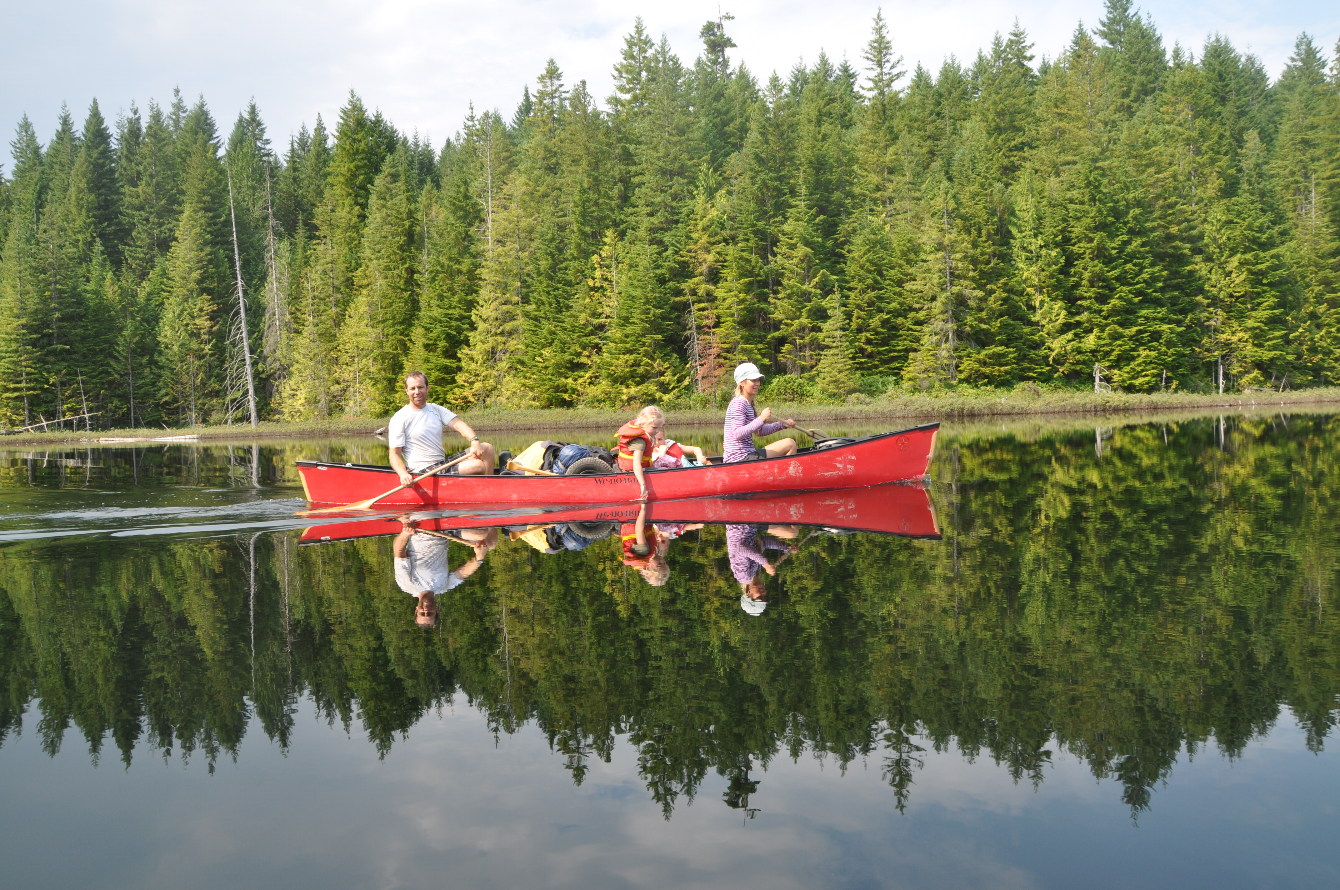
General Description: Murtle Lake is found in Well’s Gray Provincial Park. Access is by vehicle, 27km up a gravel road from Blue River, off Hwy 5. One cartable mostly-downhill portage into a lovely subalpine lake with many camping opportunities on long sandy beaches. The lake is usually about 3km wide with 2 arms each approximately 20km long. We had volatile weather with decent chop and incredible summer thunderstorms rolling through in the late afternoons. Campsites vary from long sandy stretches of beach to small, private sites along the lake edge. There are hiking opportunities and yes, still opportunities to schlep a canoe through the forest (portage) for those who need to suffer a little. Bring your fishing gear and enjoy!
Official Website: Wells Gray Provincial Park: Murtle Lake
Canoeing Distance: you choose
Portage Distance: 2.5km each way into Murtle Lake
Difficulty: Beginner
Toilets: Yes.
Canoe Rental: You can rent canoes and carts from Blue River Campground.
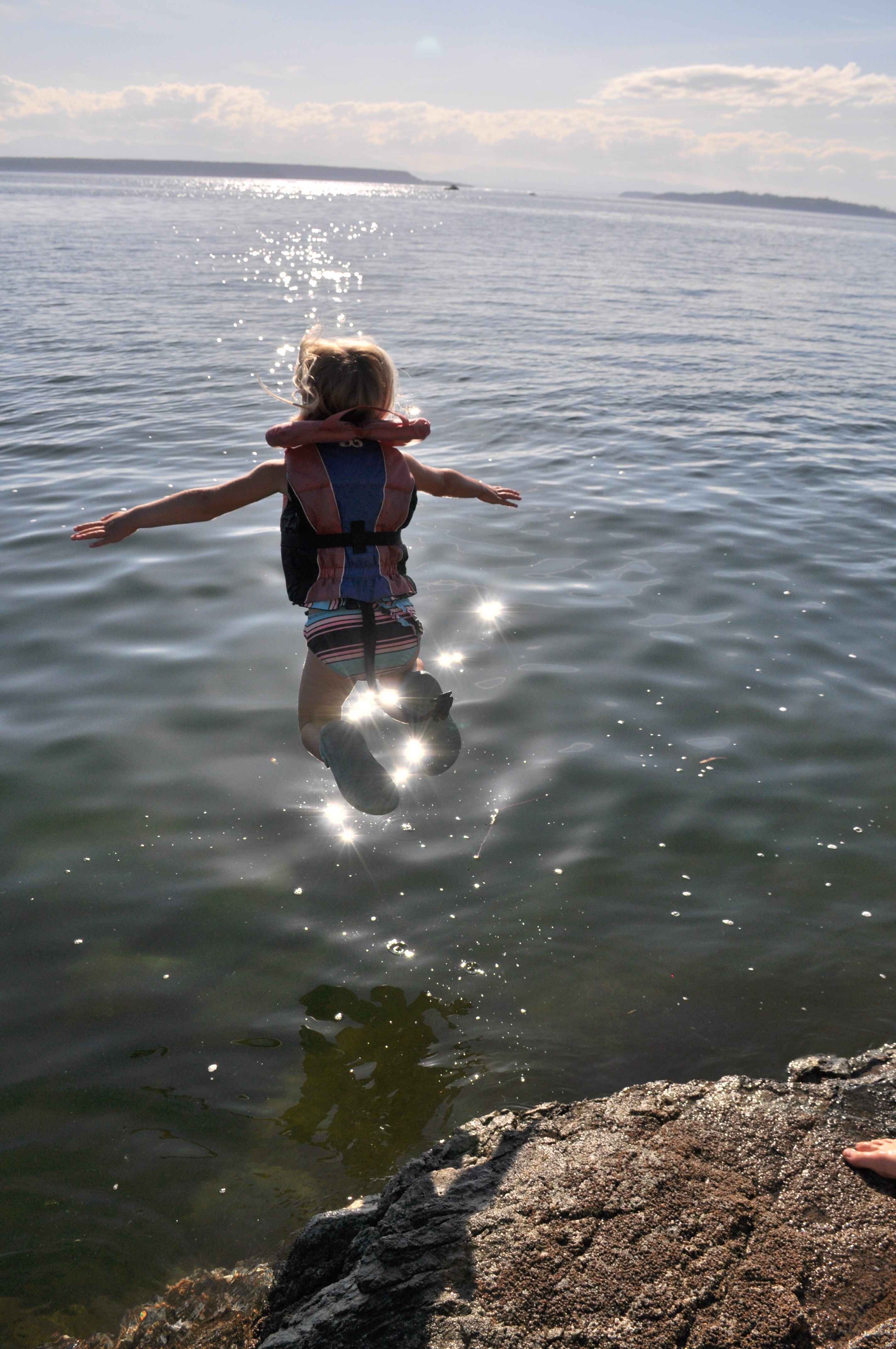
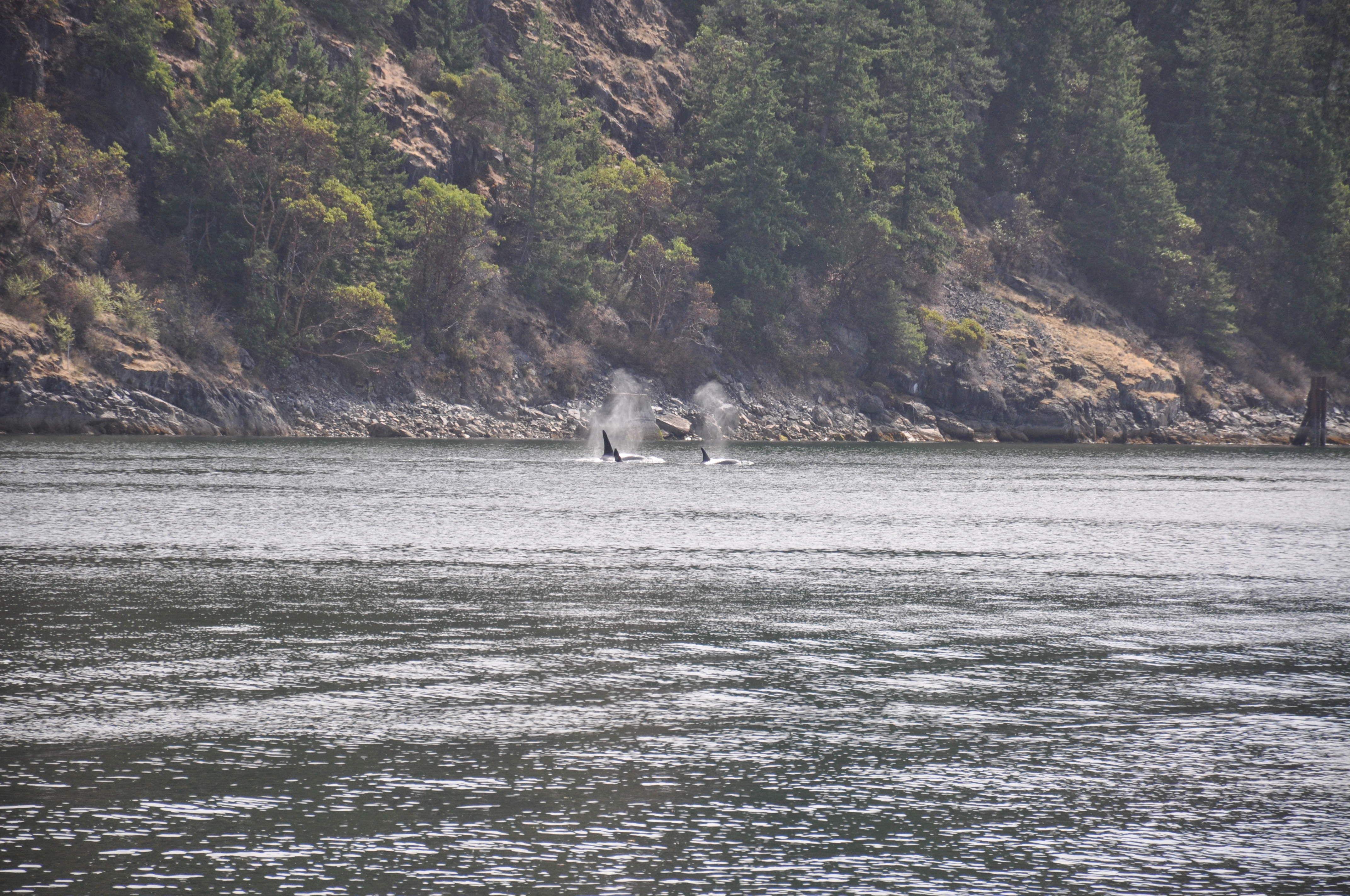
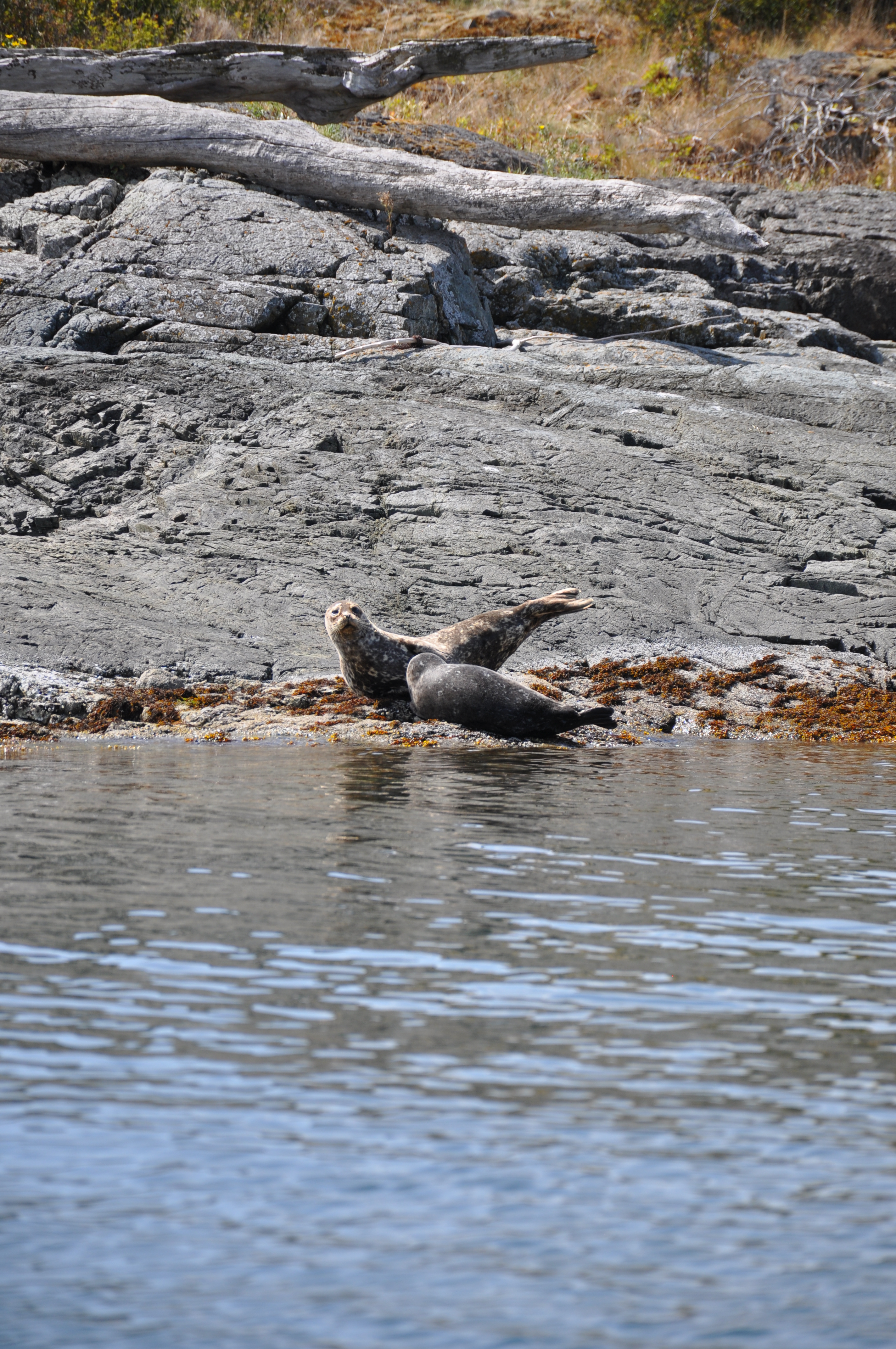
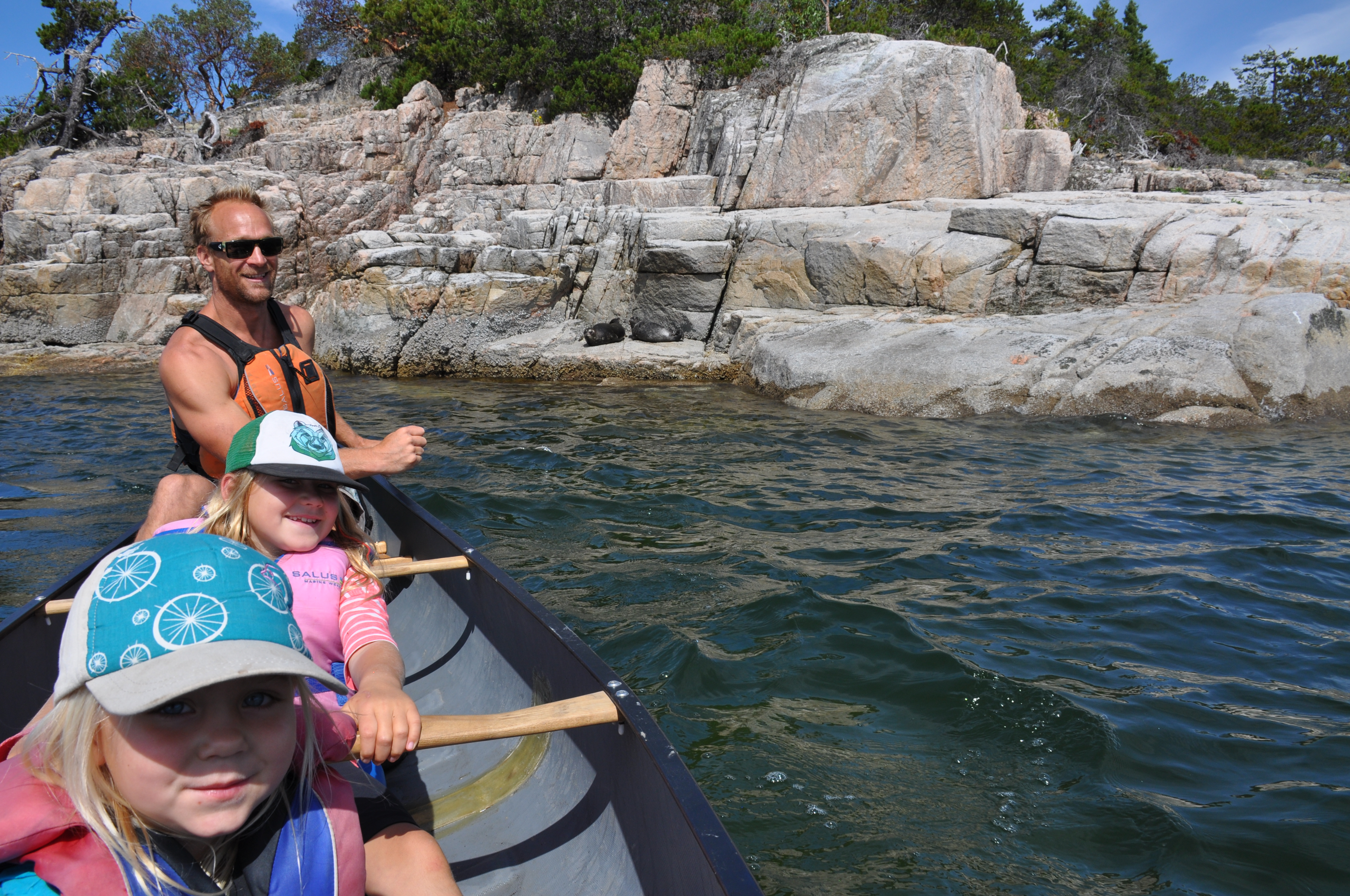
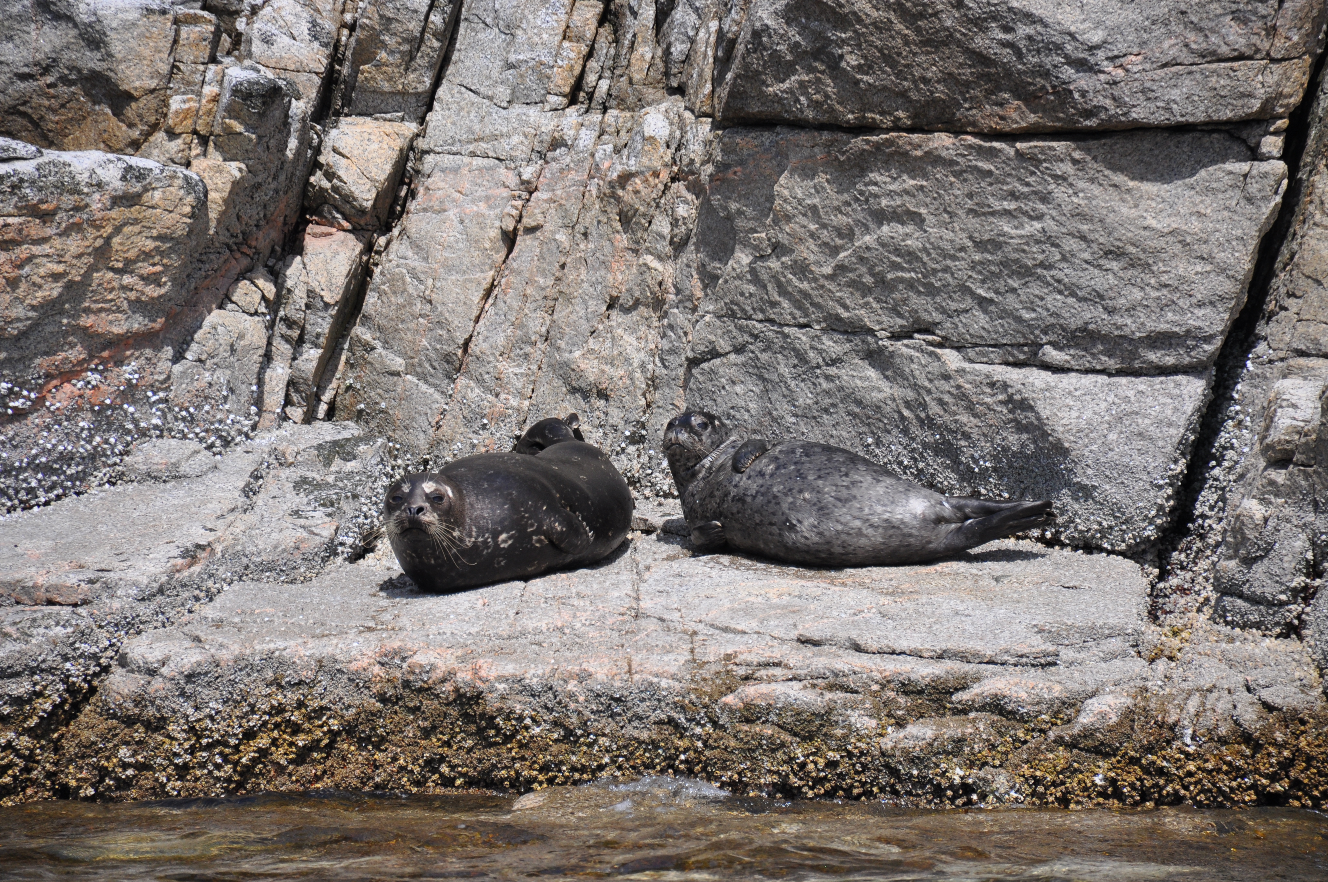
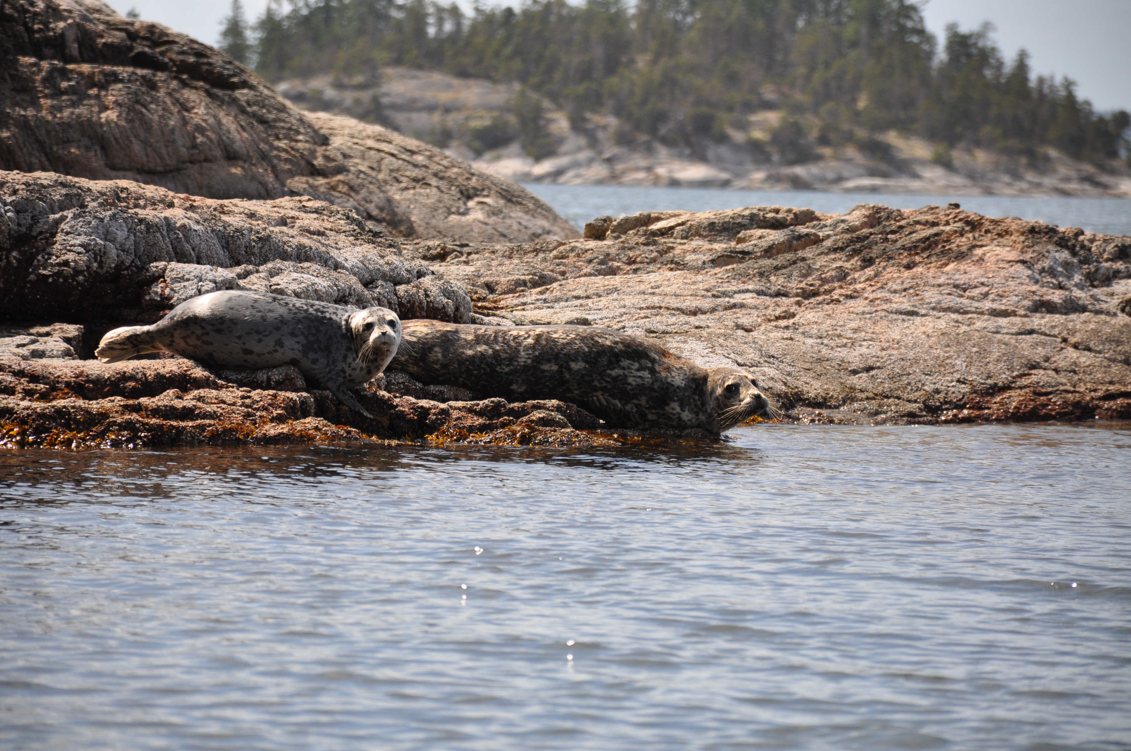
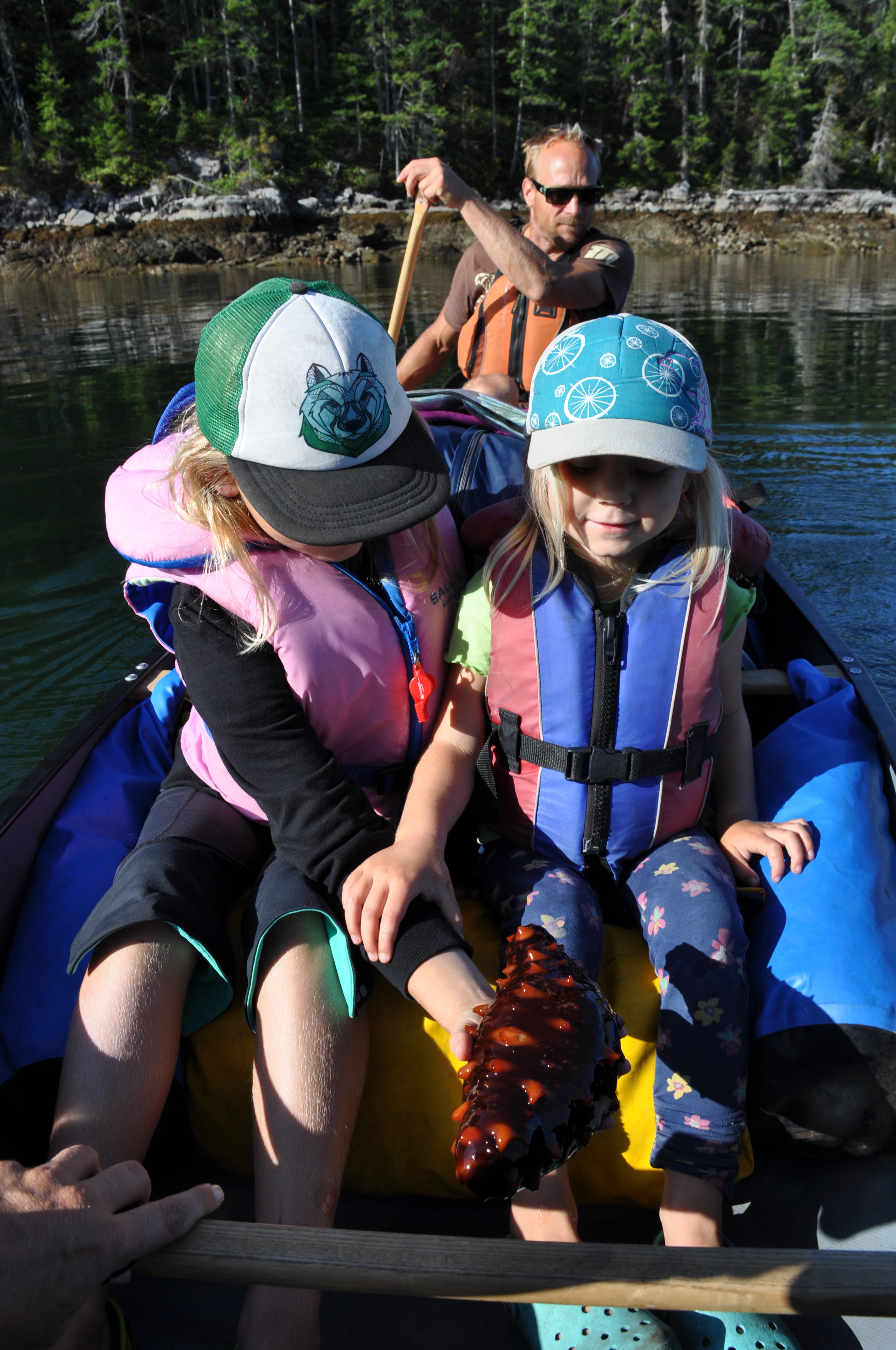
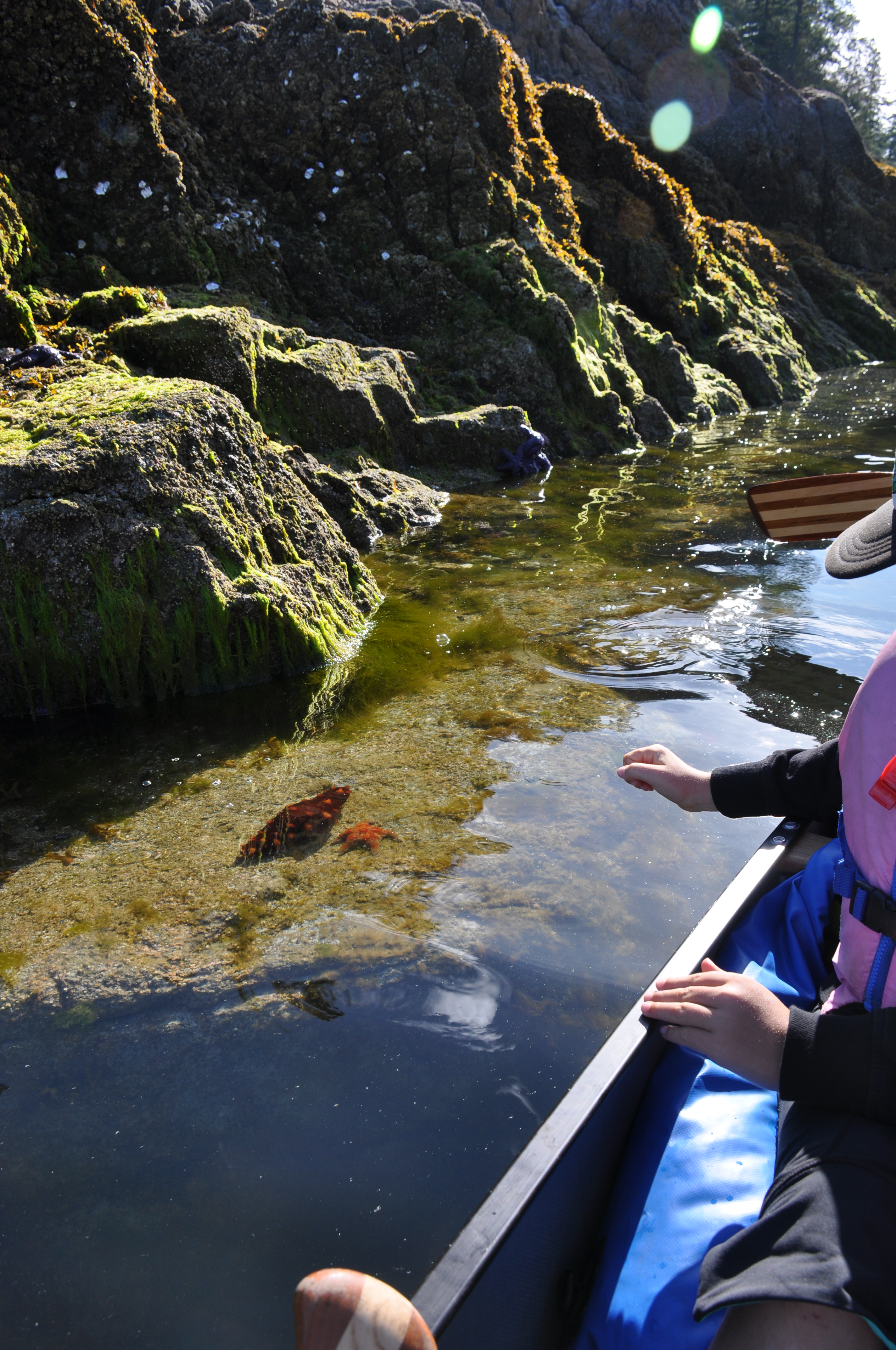
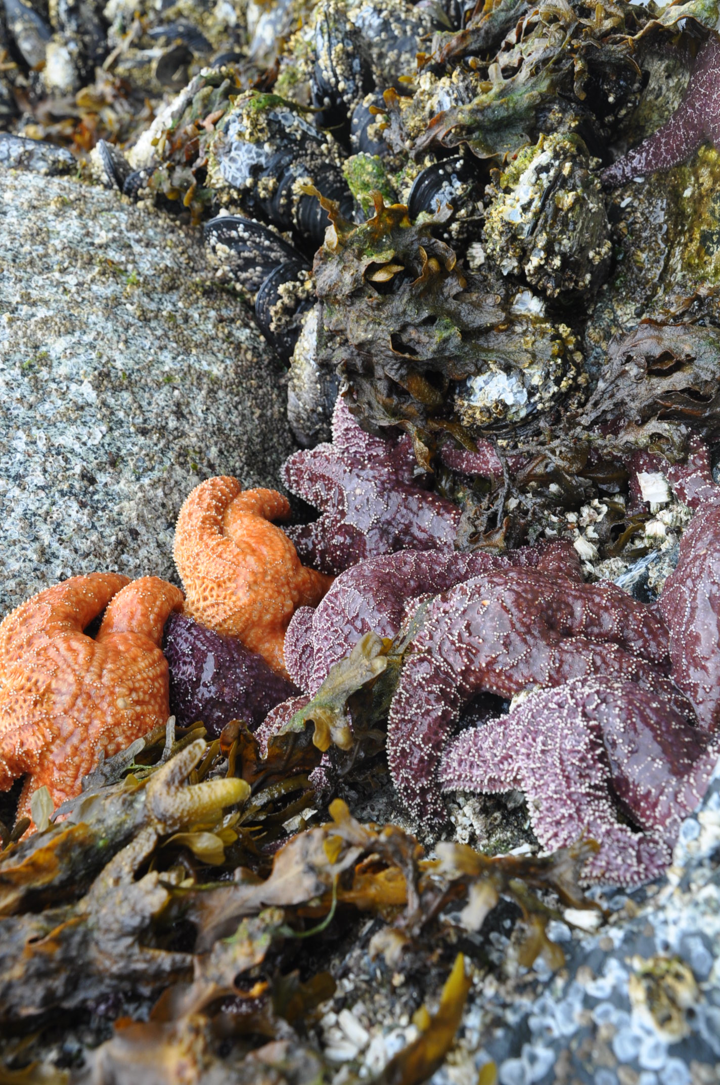
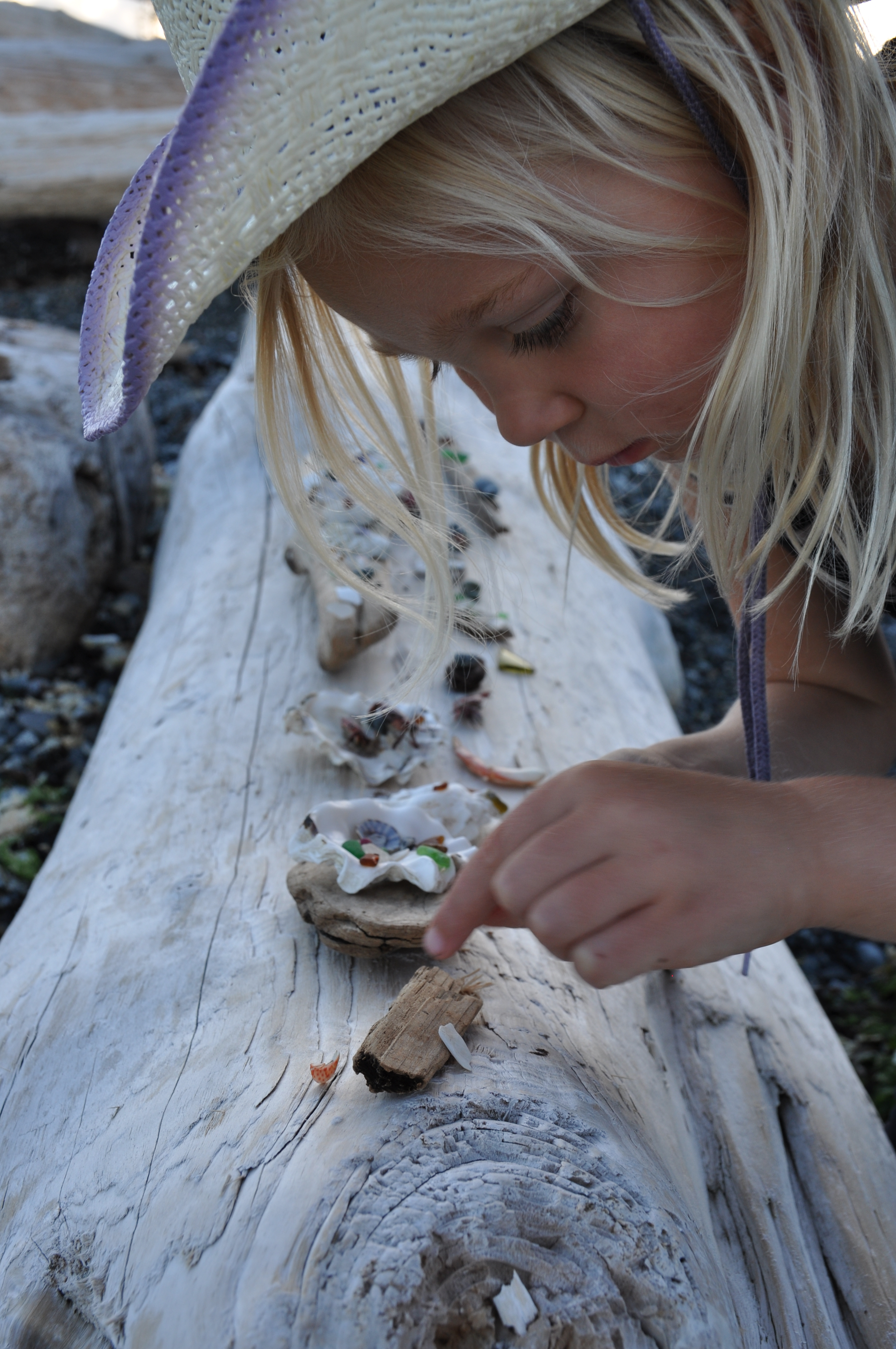
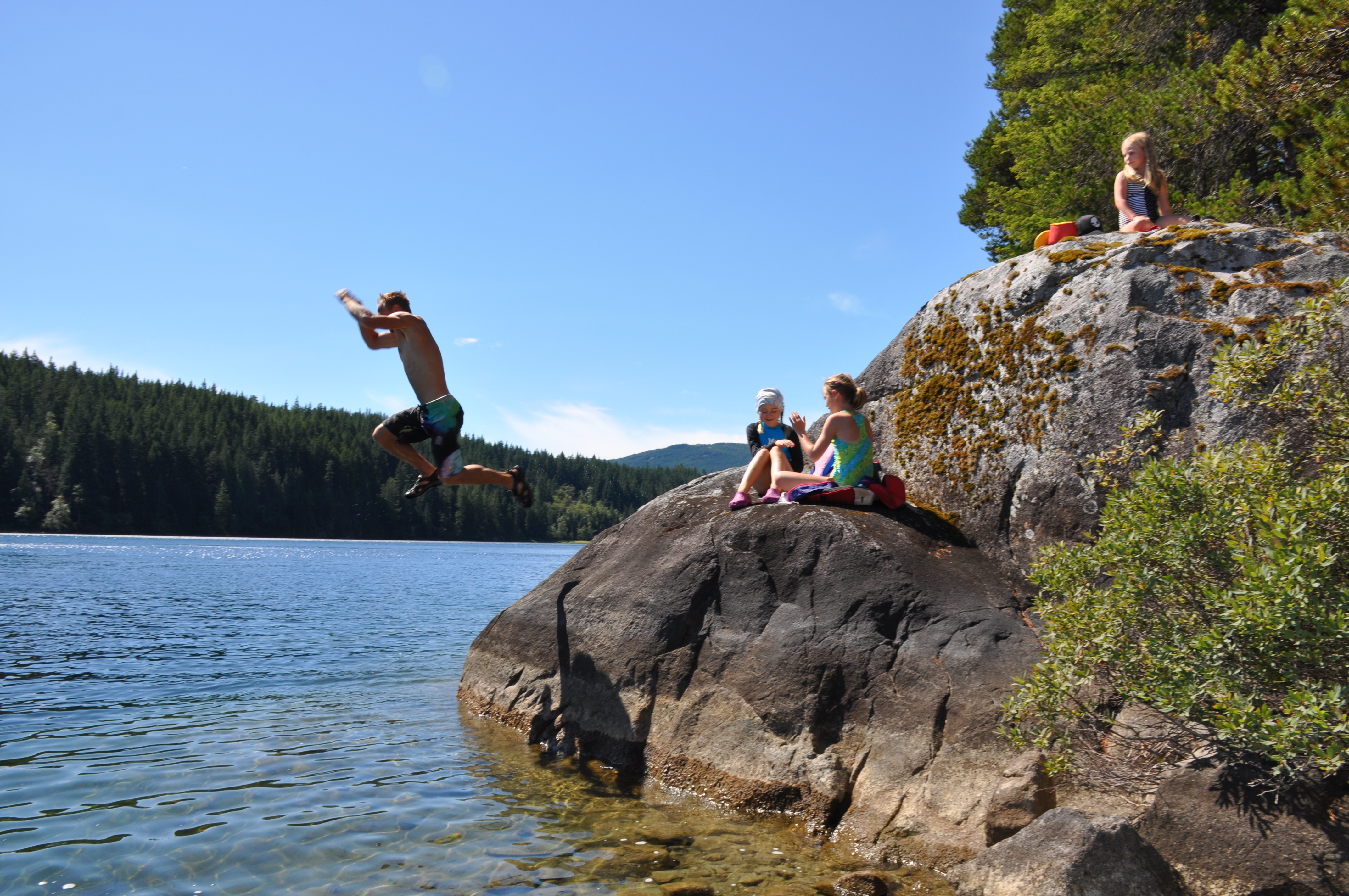
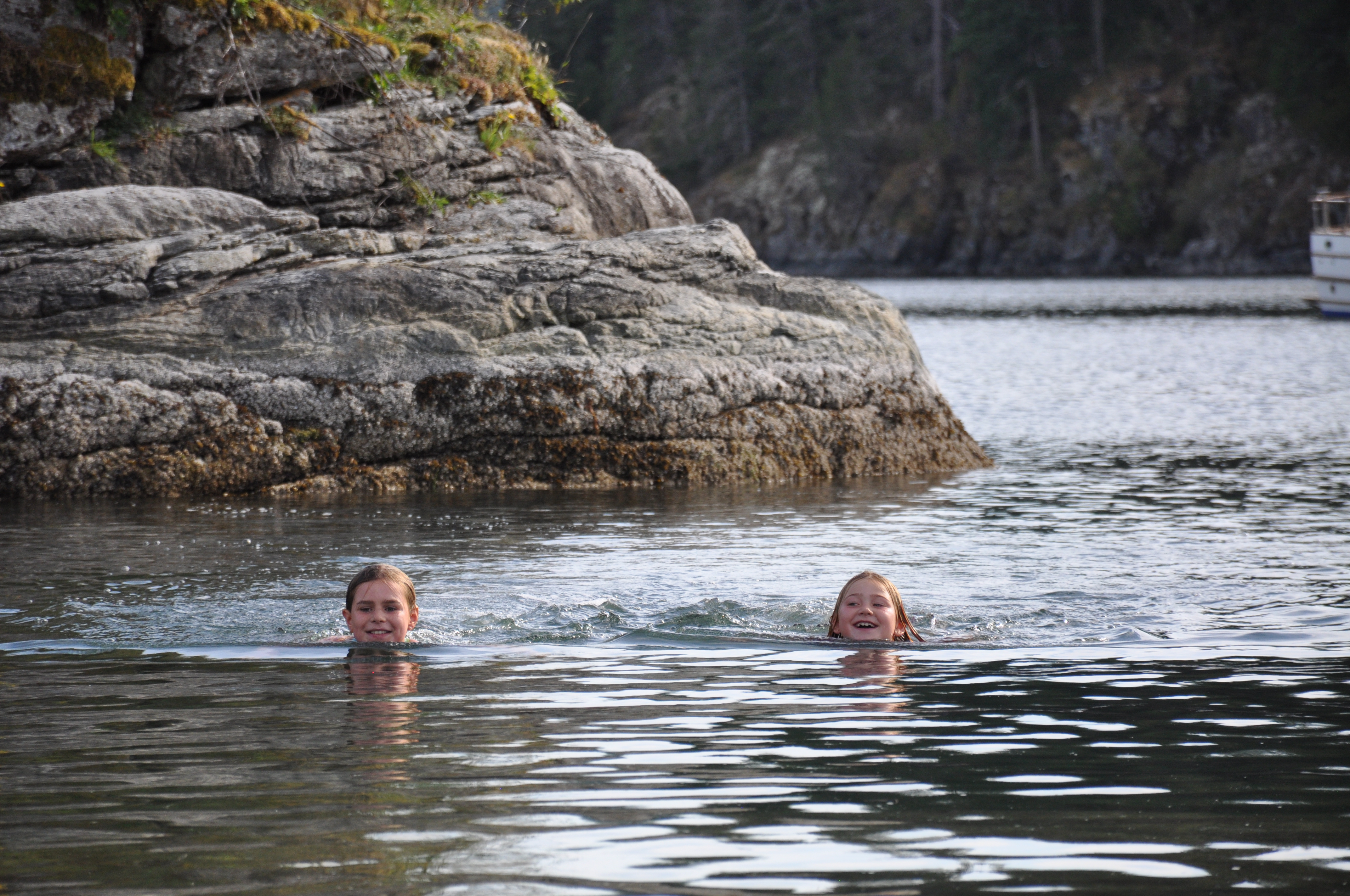
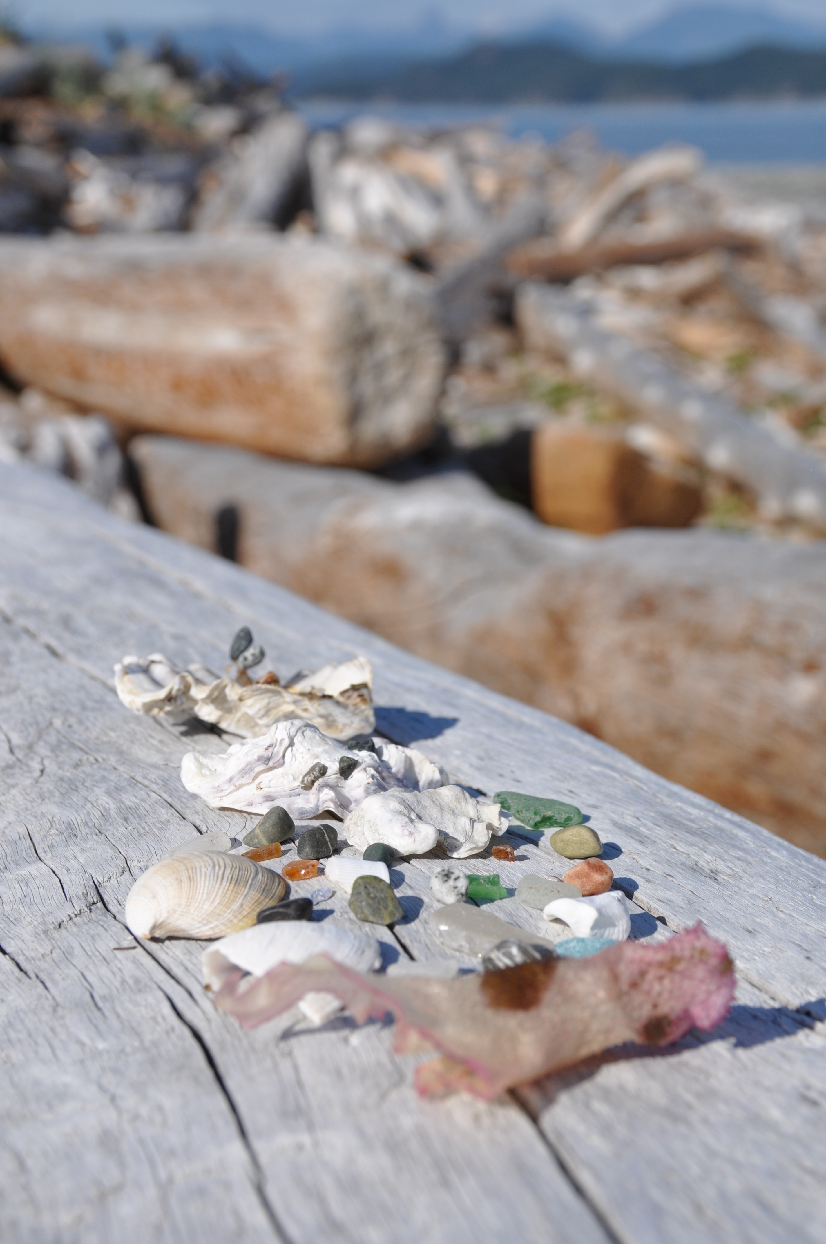
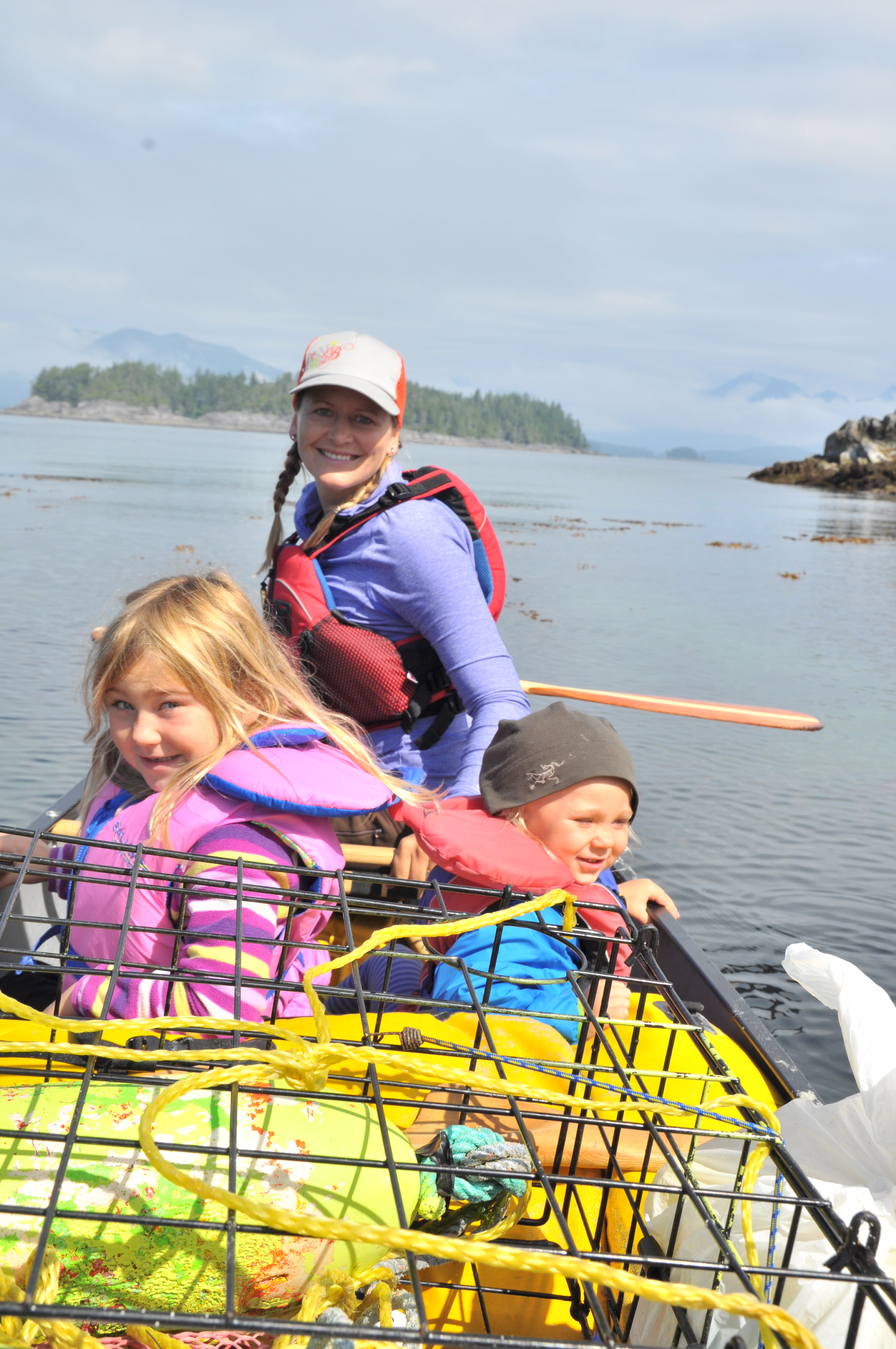
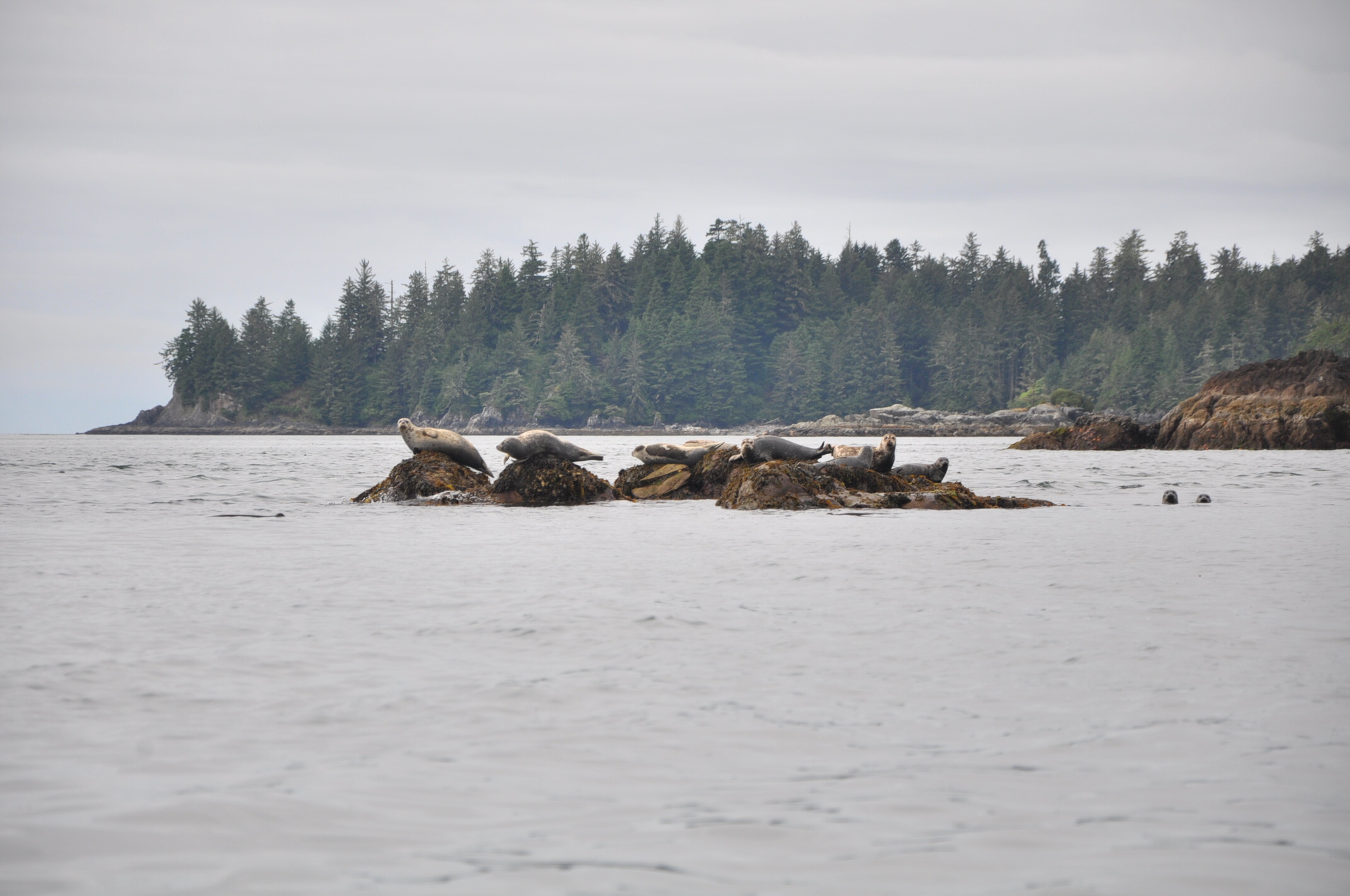
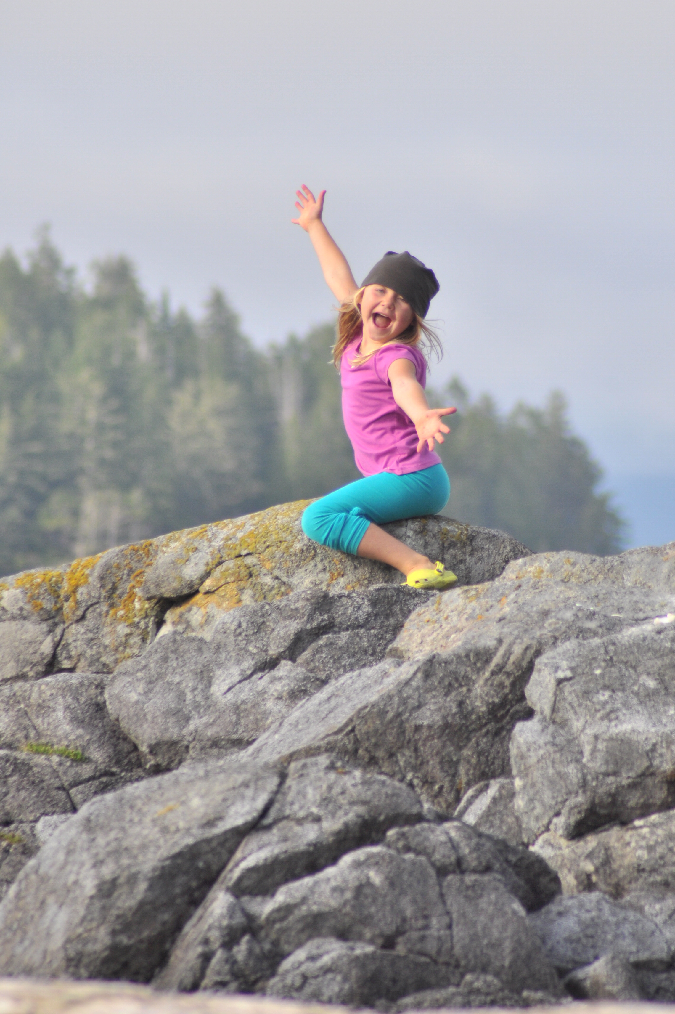
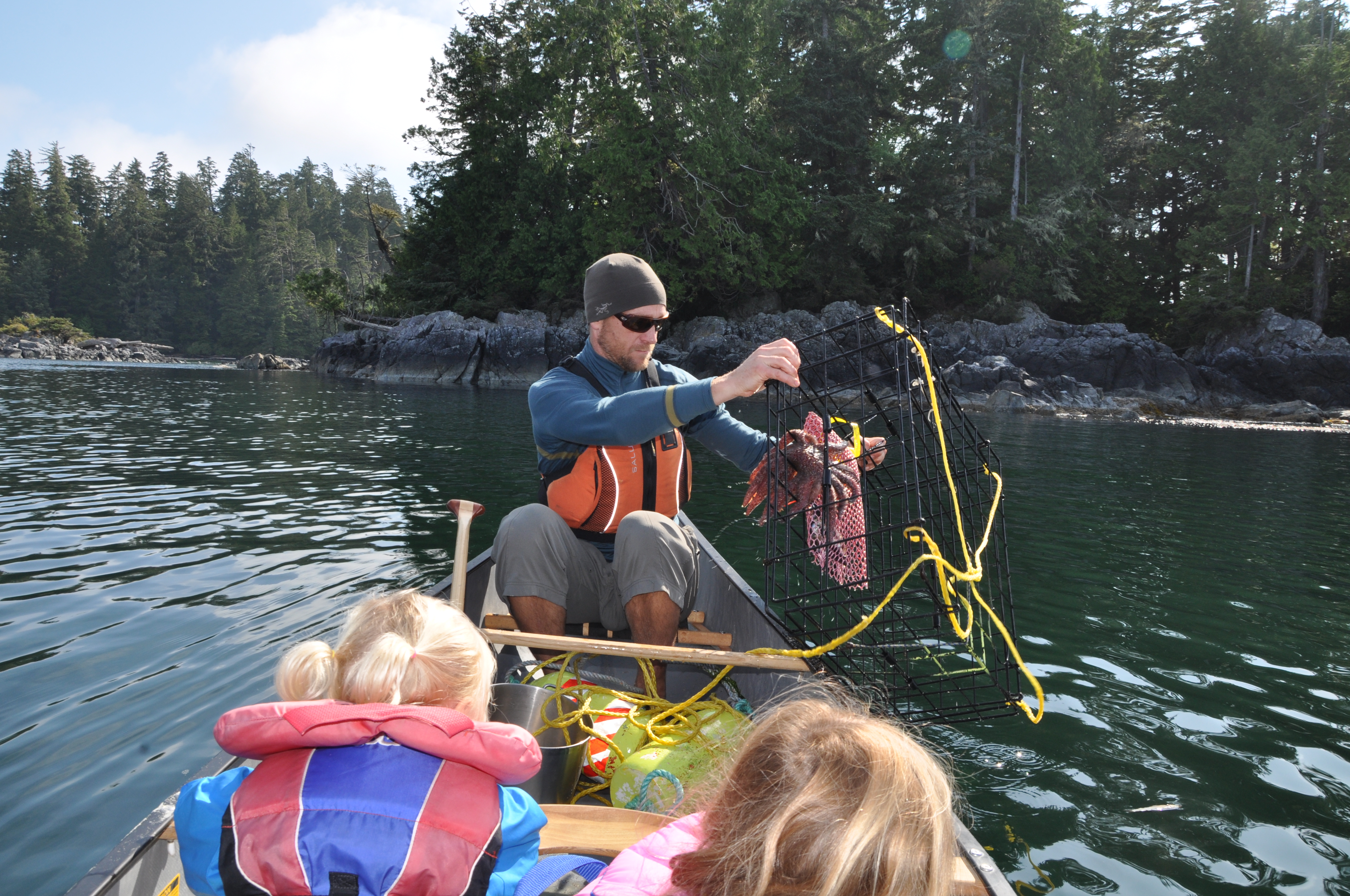
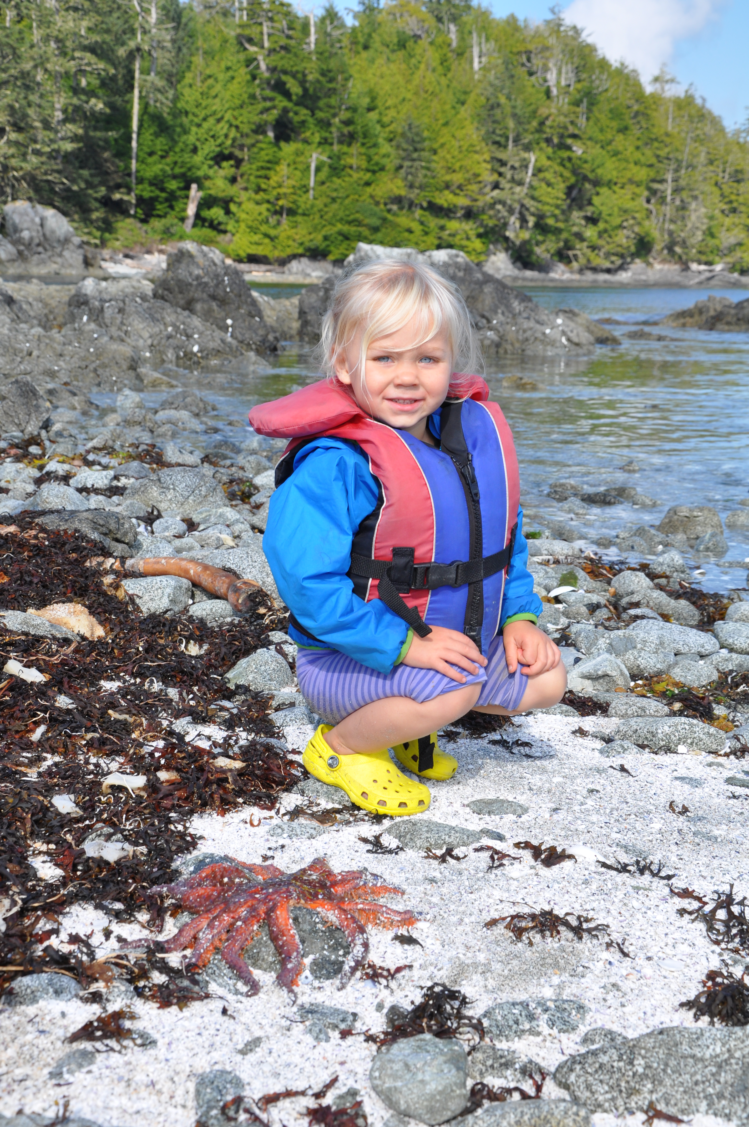
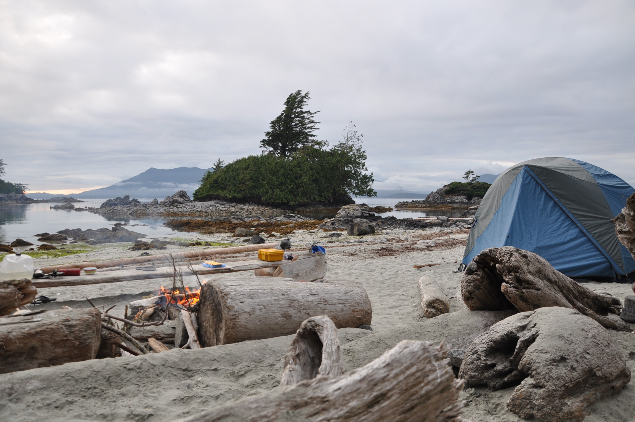
We had an entire Island to ourselves to camp on and explore. We were surrounded by beautiful vistas and each evening ended with a gorgeous sunset. A pod of orcas put on an afternoon show. Seals were everywhere, including baby seals that made the girls squeal with delight and a returning curious seal the girls named “Silky” with the hopes that by naming him, we would be obligated to bring him home as our pet. Low tide day trips rewarded us with starfish, anemones, sea cucumbers and spider crabs we could reach out and touch.
The only downside to this dreamy location was getting there and back. The boat traffic between Lund and Desolation Sound made the crossing in a small canoe quite nerve wracking. Fast moving luxury yachts throw a serious wake (it felt like 4 feet at times) and despite the whoops of excitement from the kids, I can only remember feeling fear of capsizing.
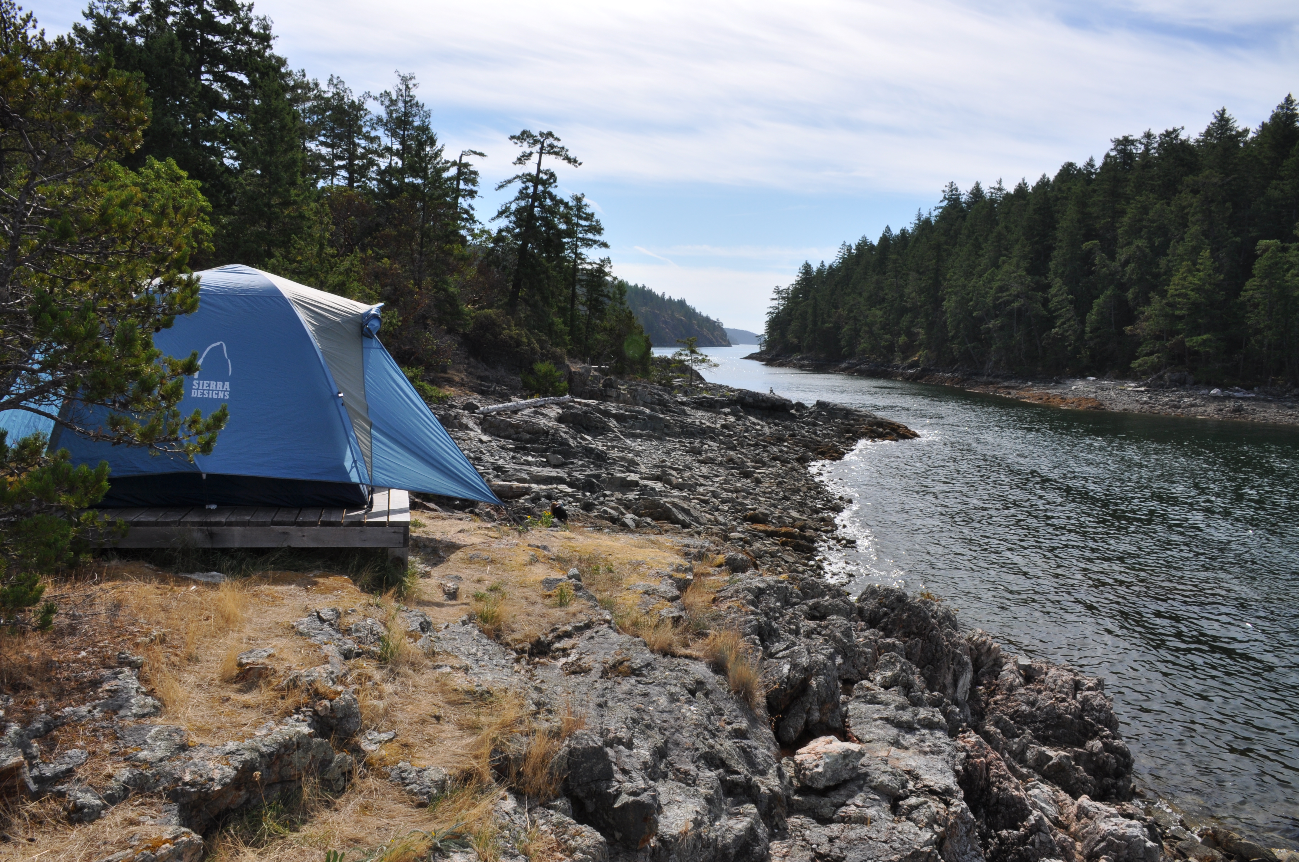

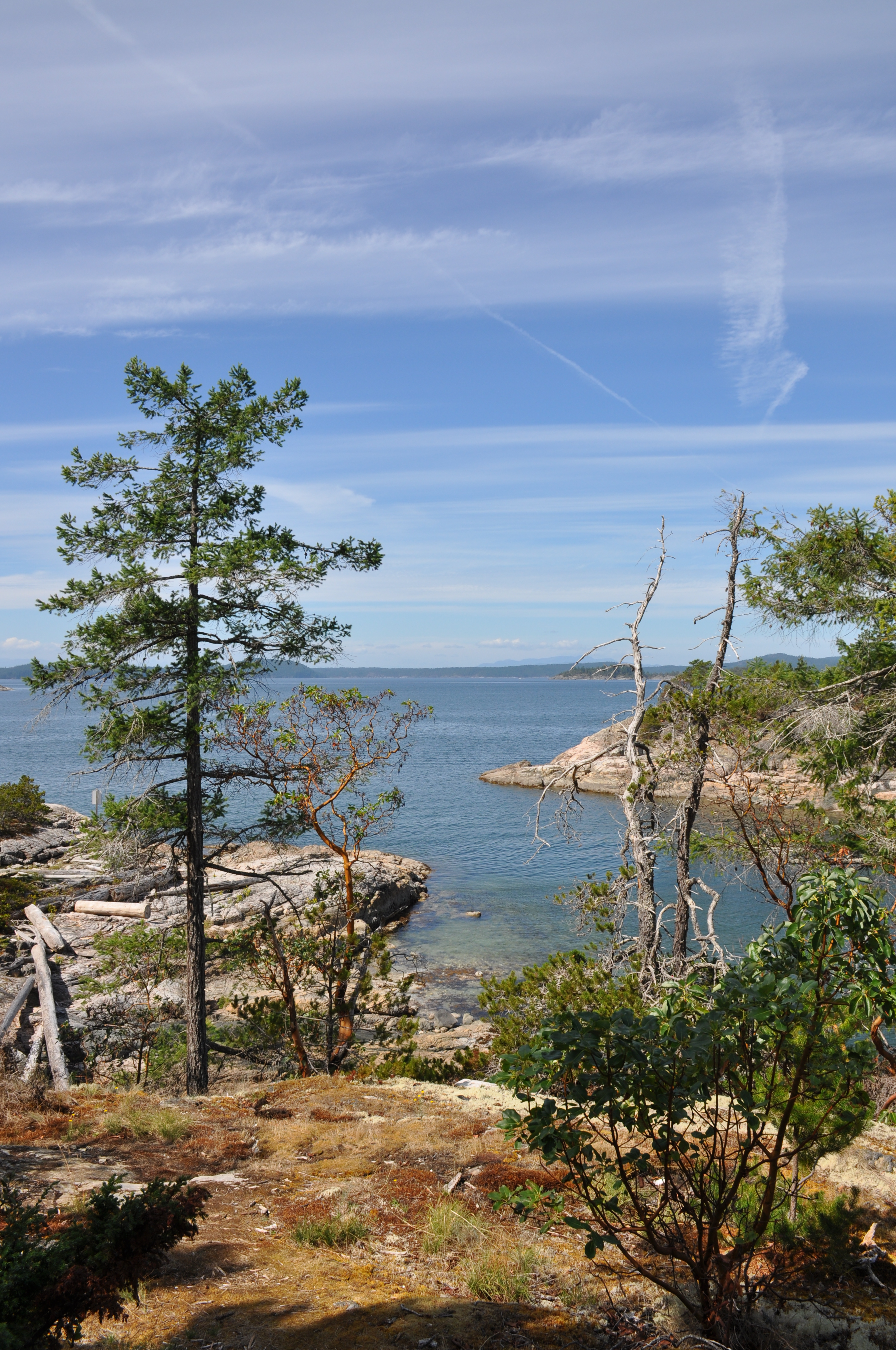

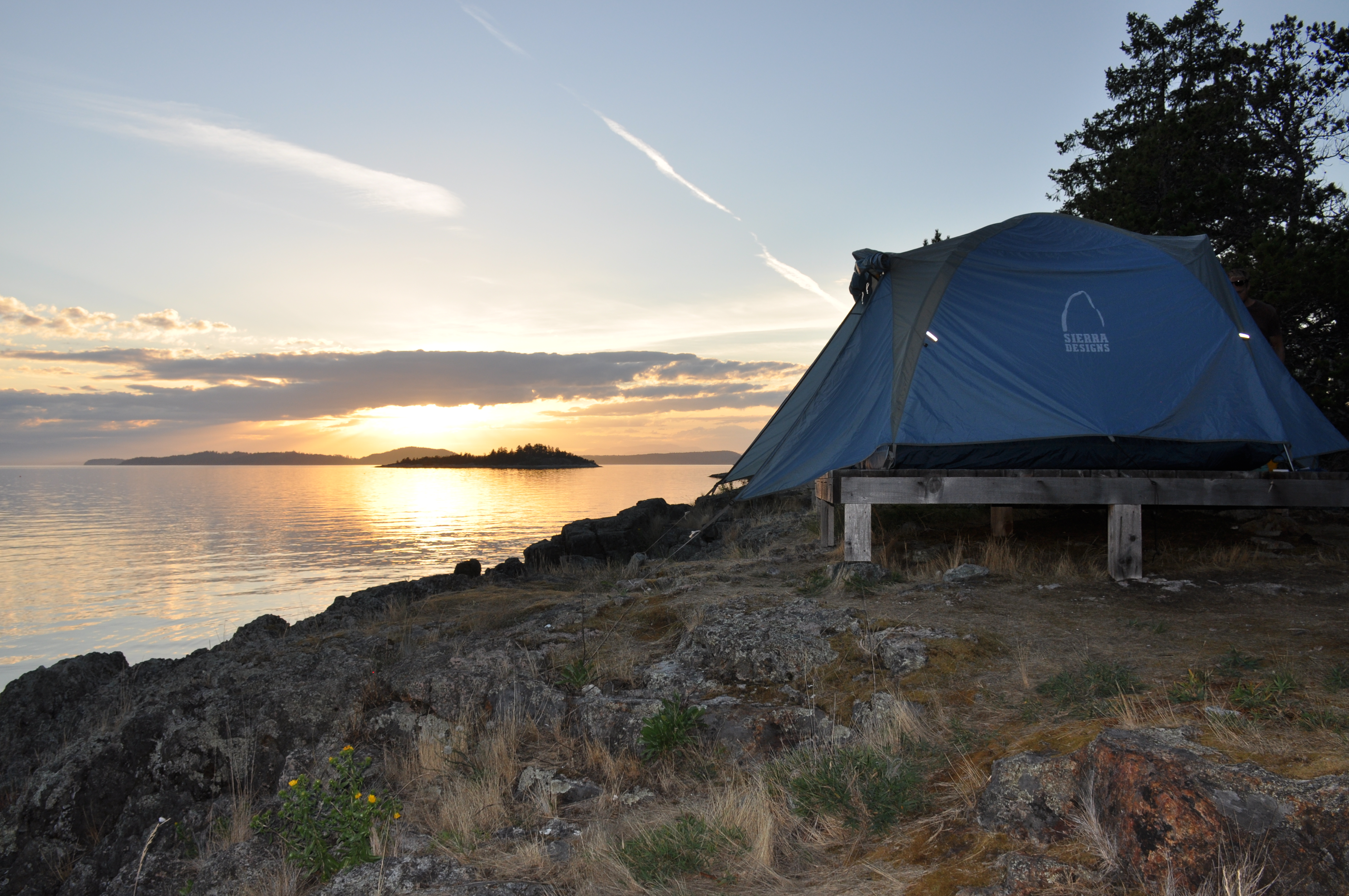


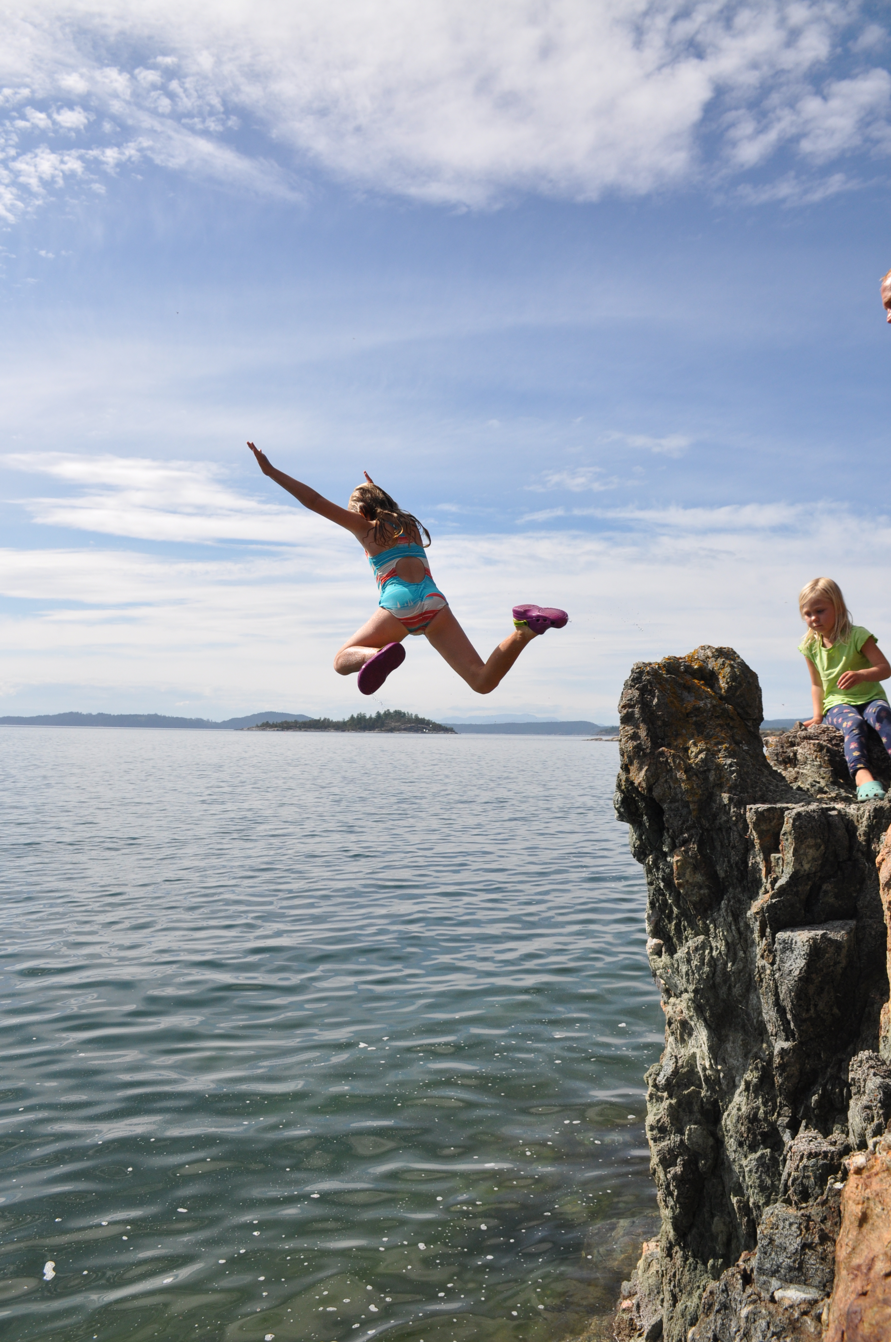
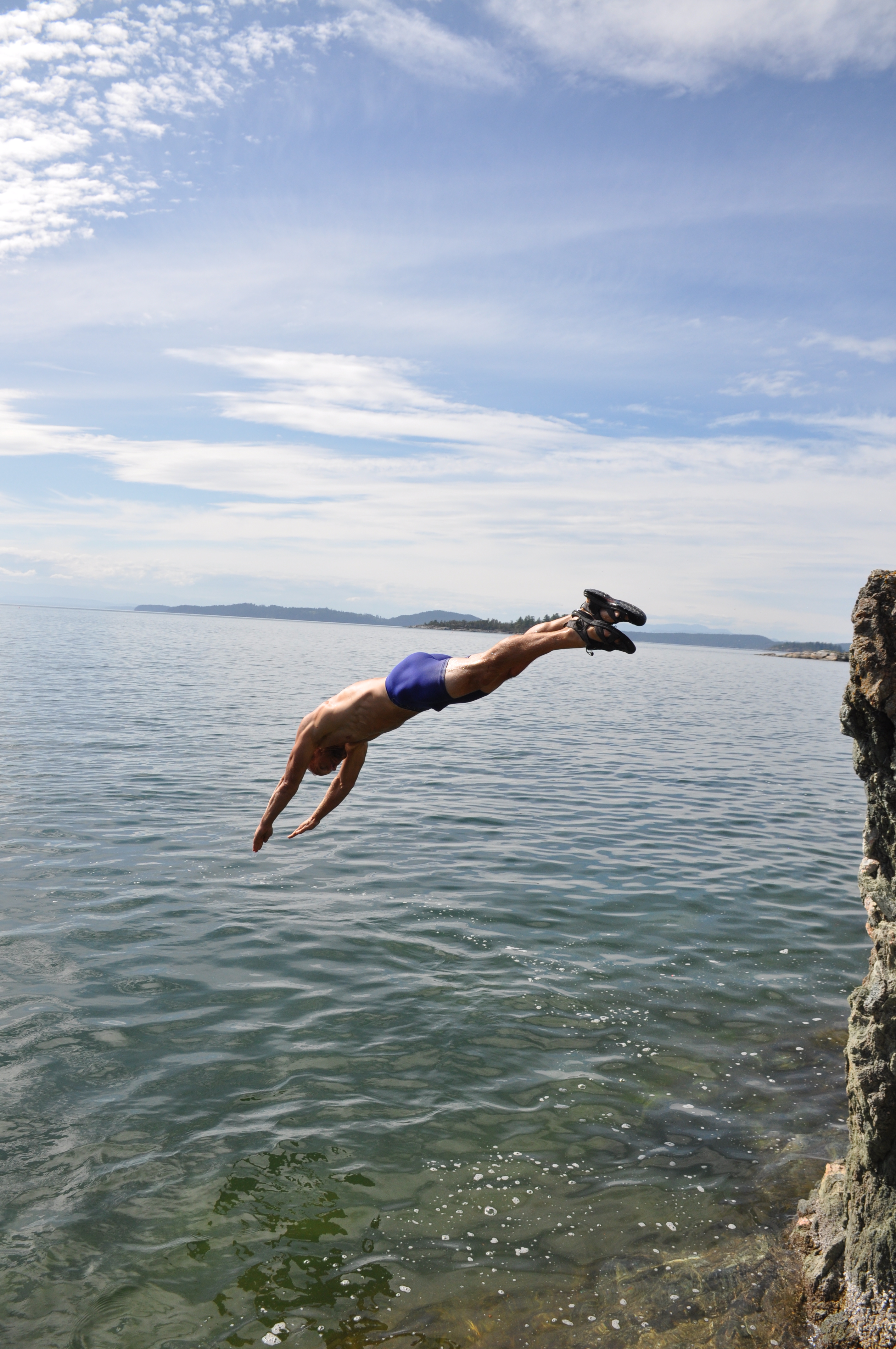

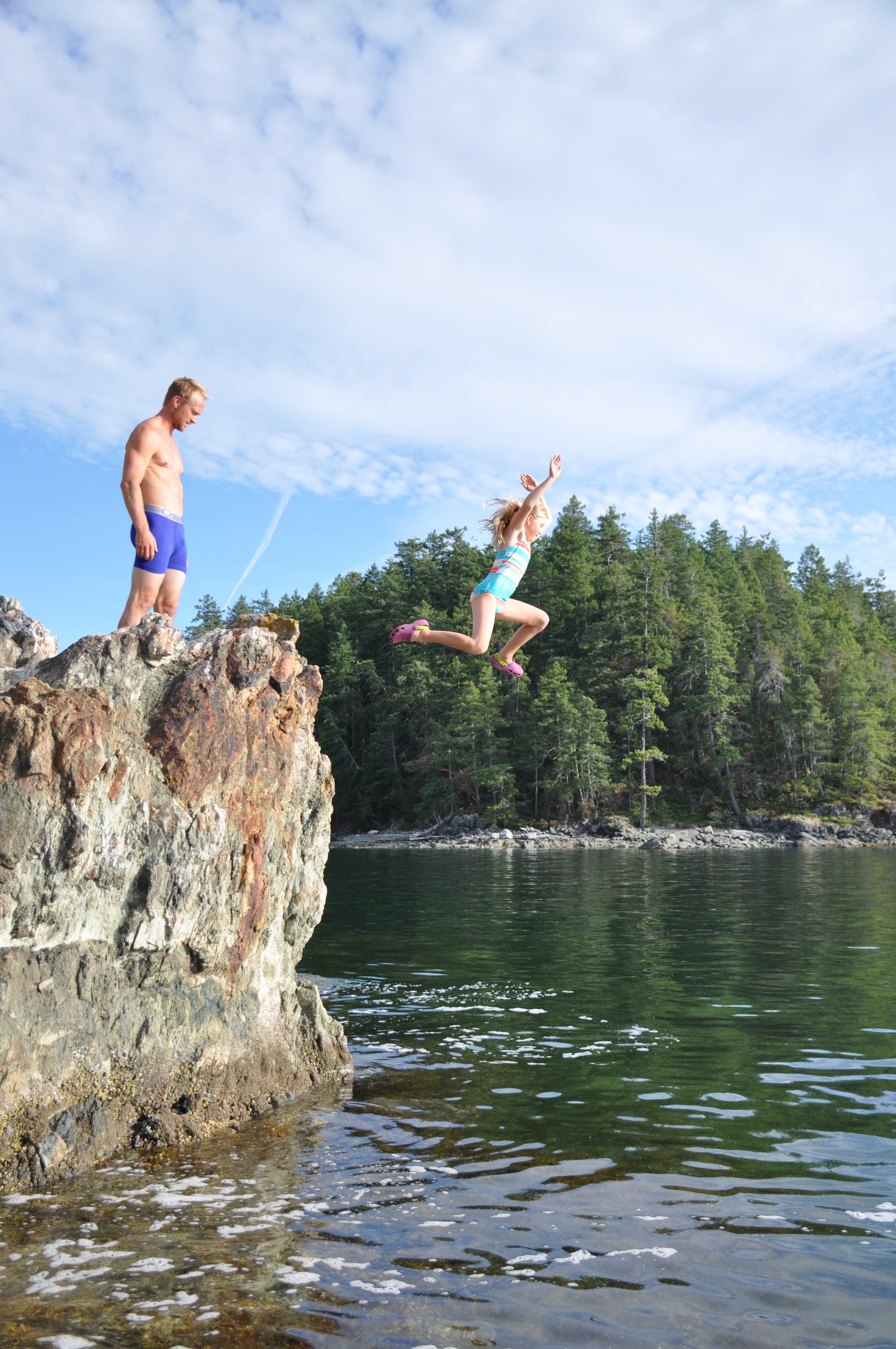

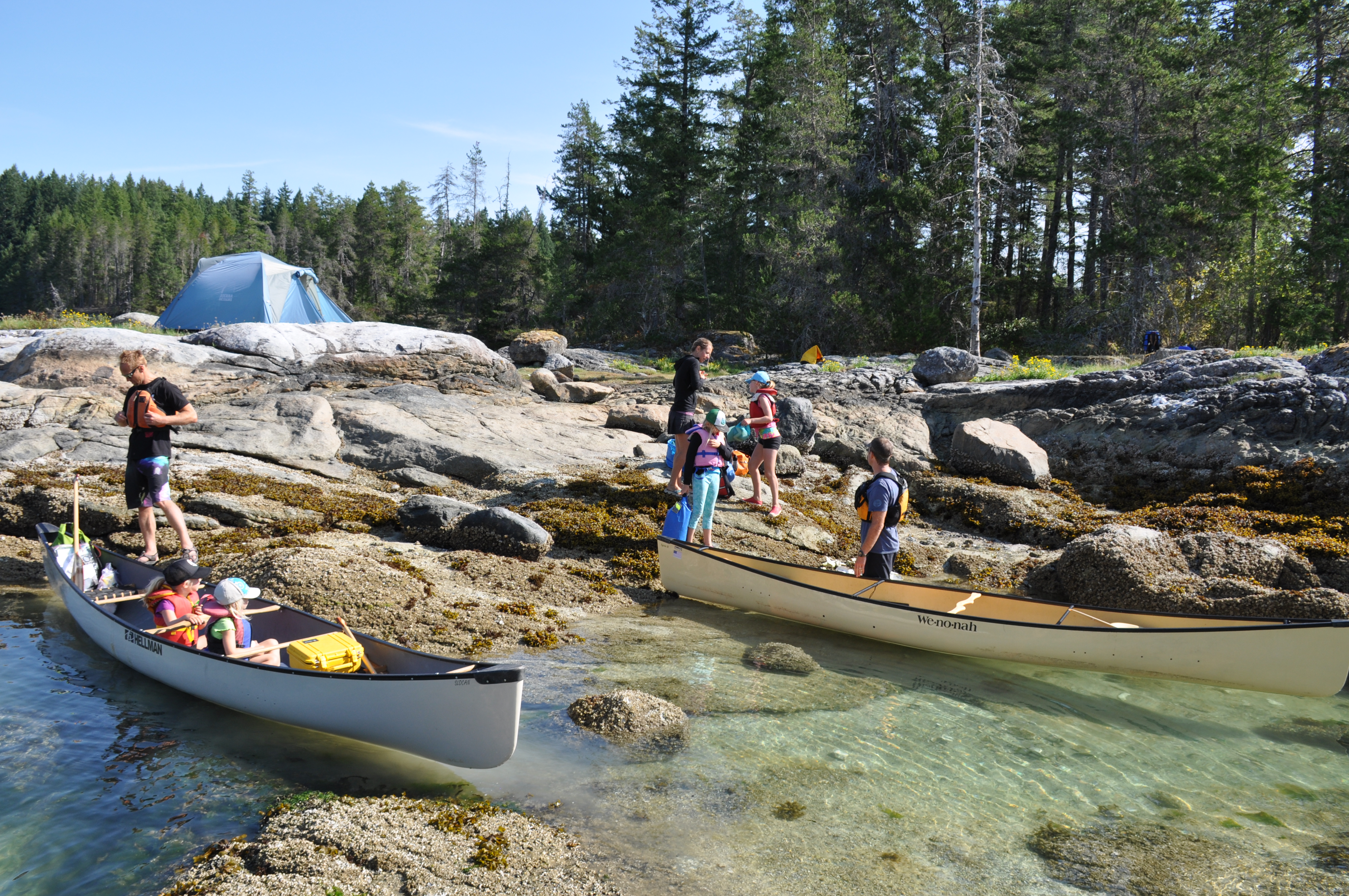
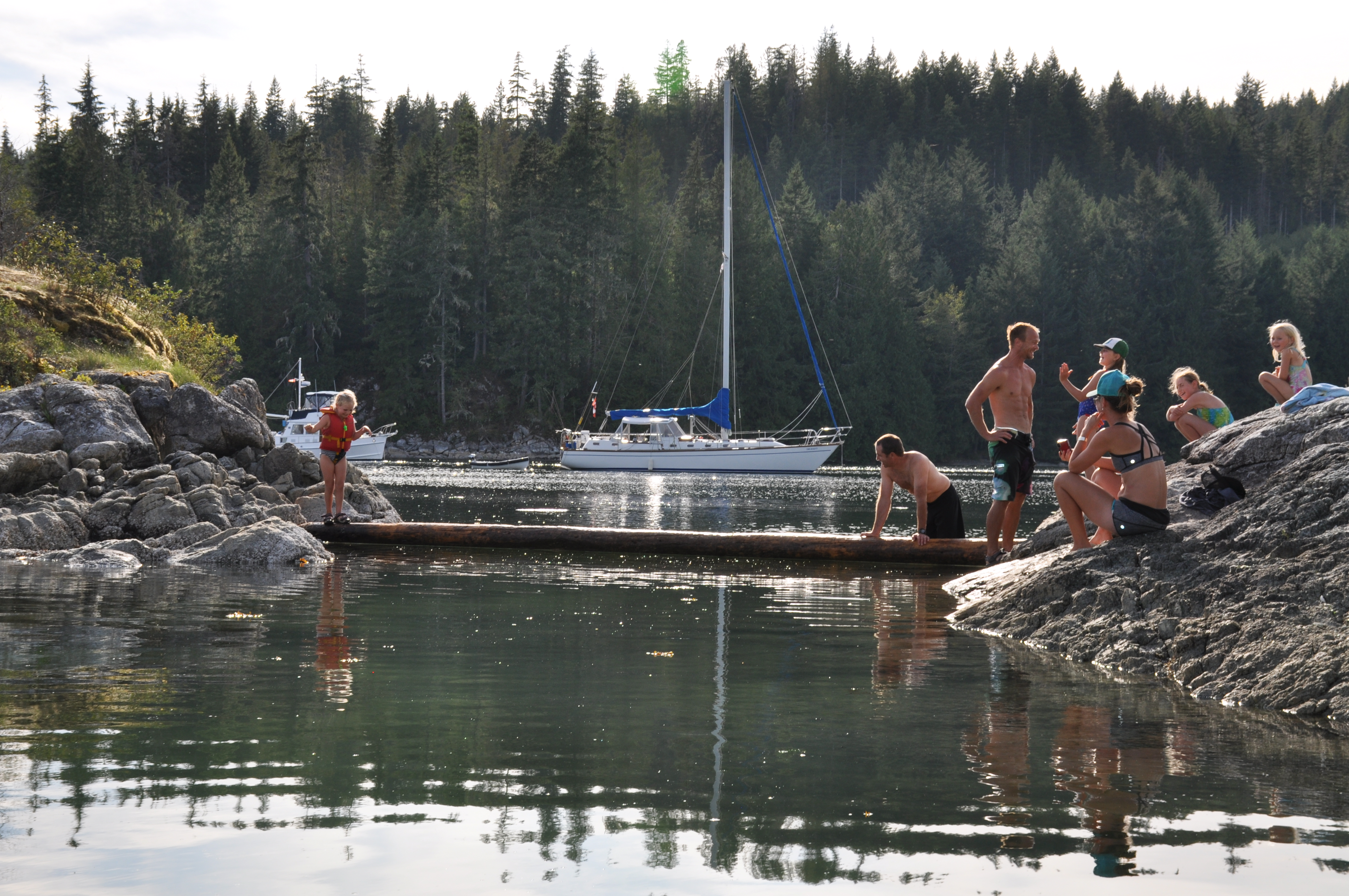
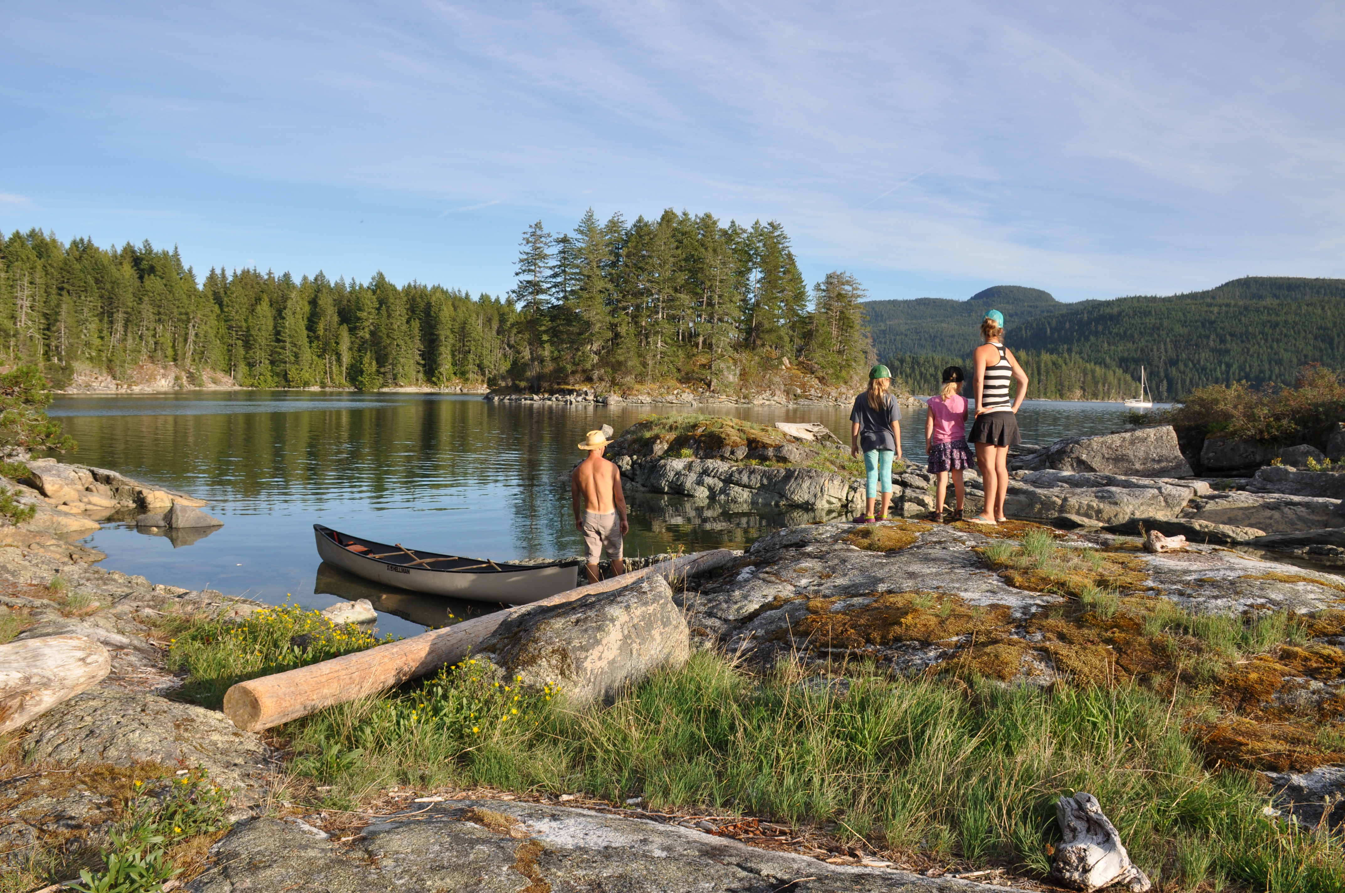
General Description: Paddle north from the Lund Harbour to the Copeland Islands. Amongst the finest island camping we’ve seen, with sunsets over Cortez Islands, views of Savary Island and excellent rocks for diving and swimming into clear, warmish water. A short paddle north from Lund dodging 4 foot wakes from luxury cruisers with no regard for canoes. Rich tide pools for the kids (and you) to play in, colonies of seal pups and did we mention the sunsets visible through the fly of your tent on one of the many incredibly positioned tent pads?
Difficulty: Intermediate owing to the aforementioned wakes and the potential for winds and chop.
Route Distance: 15km + side trips through islands Portage Distance: 0km
Toilets: Yes


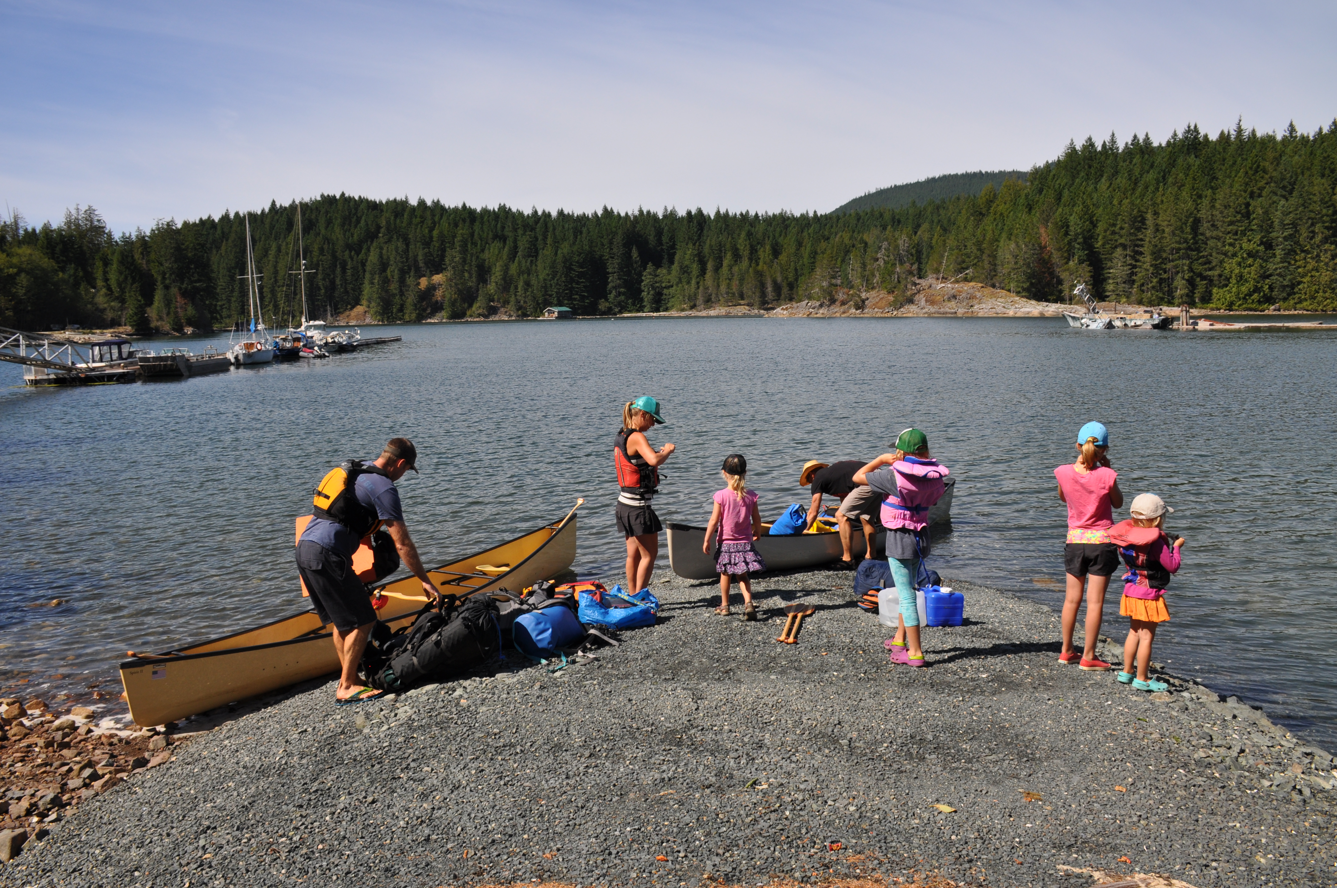


General Description: A partial circumnavigation of Quadra Island starting a Granite Bay then paddling north and then east up the inlet directly across the island from the Octopus Islands Marine Park. A 900m portage to the eastern side of the island leaves a very short paddle to the Octopus Islands. There you will find warm water but you’re surrounded by sail boats while you rough camp. From there we padded south along the eastern side of the island until we found a very rough 1.5 km trail to portage to Main Lake in the interior of the island. Main Lakes Provincial Park consists of a handful of lakes which can reached by paddling / lining. There is some excellent beach camping to be had and make sure to paddle up to Little Main just for the fun of the crossing. To add a little more spice, it looks on Google Earth like you may be able to paddle to the southern end of Village Bay Lake then Portage back to the ocean and paddle somewhat sheltered waters back to Harriot Bay
Difficulty: Intermediate. Rough portages and the winds and currents can be vicious on both sides of the island.
BC Parks Brochure Map for Main Lakes
BC Parks Octopus Islands Marine Provincial Park
Route Distance: 30 km
Total Portage Distance: 2.4km
Total Canoeing Distance: 27.6km
Canoe Rental: Comox Valley Kayaks and Canoes
Time Required: 2-4 days depending on how long you want to play on the islands or beaches.
Toilets: Yes in Main lakes. None on Octopus Islands


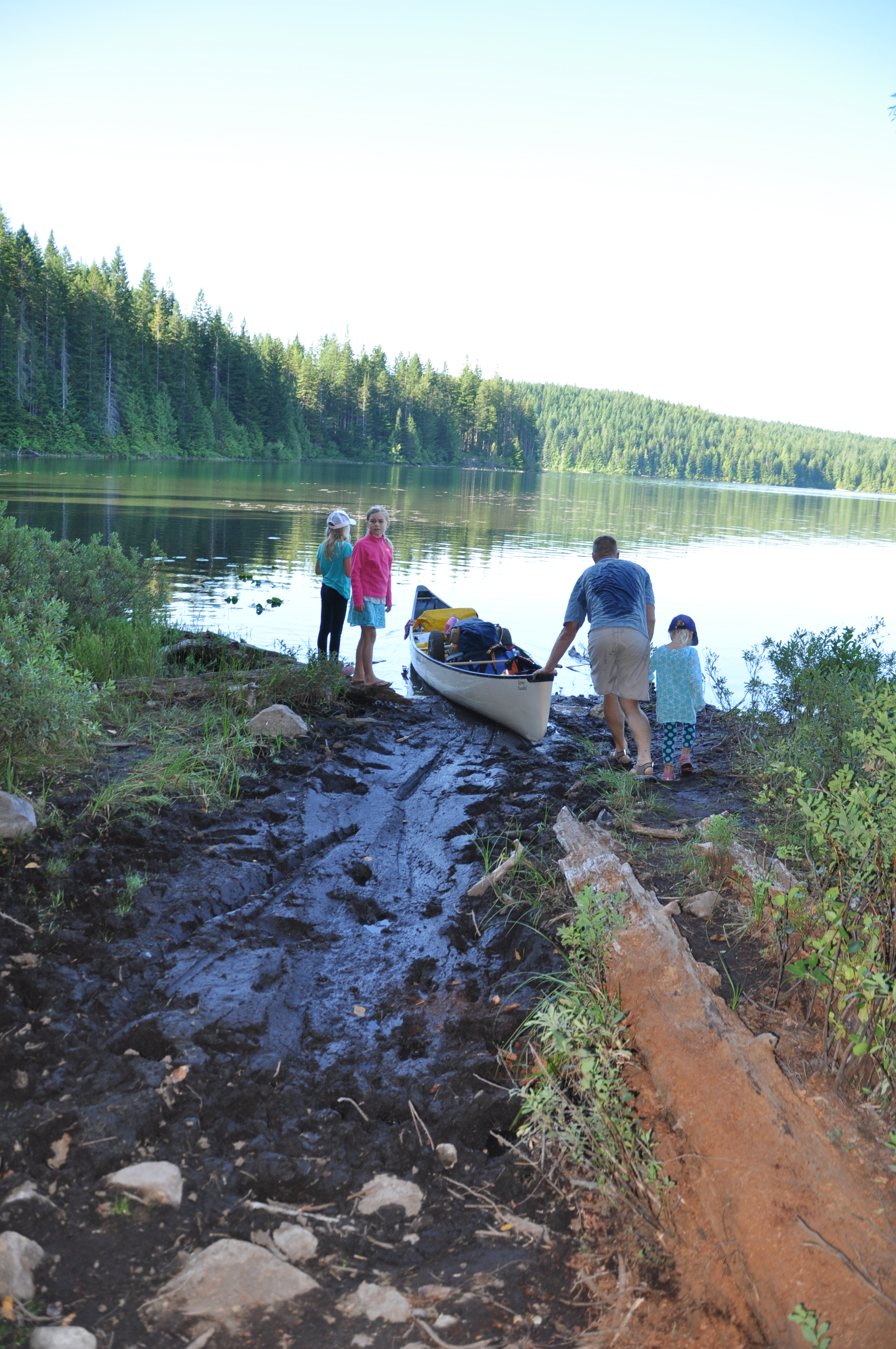
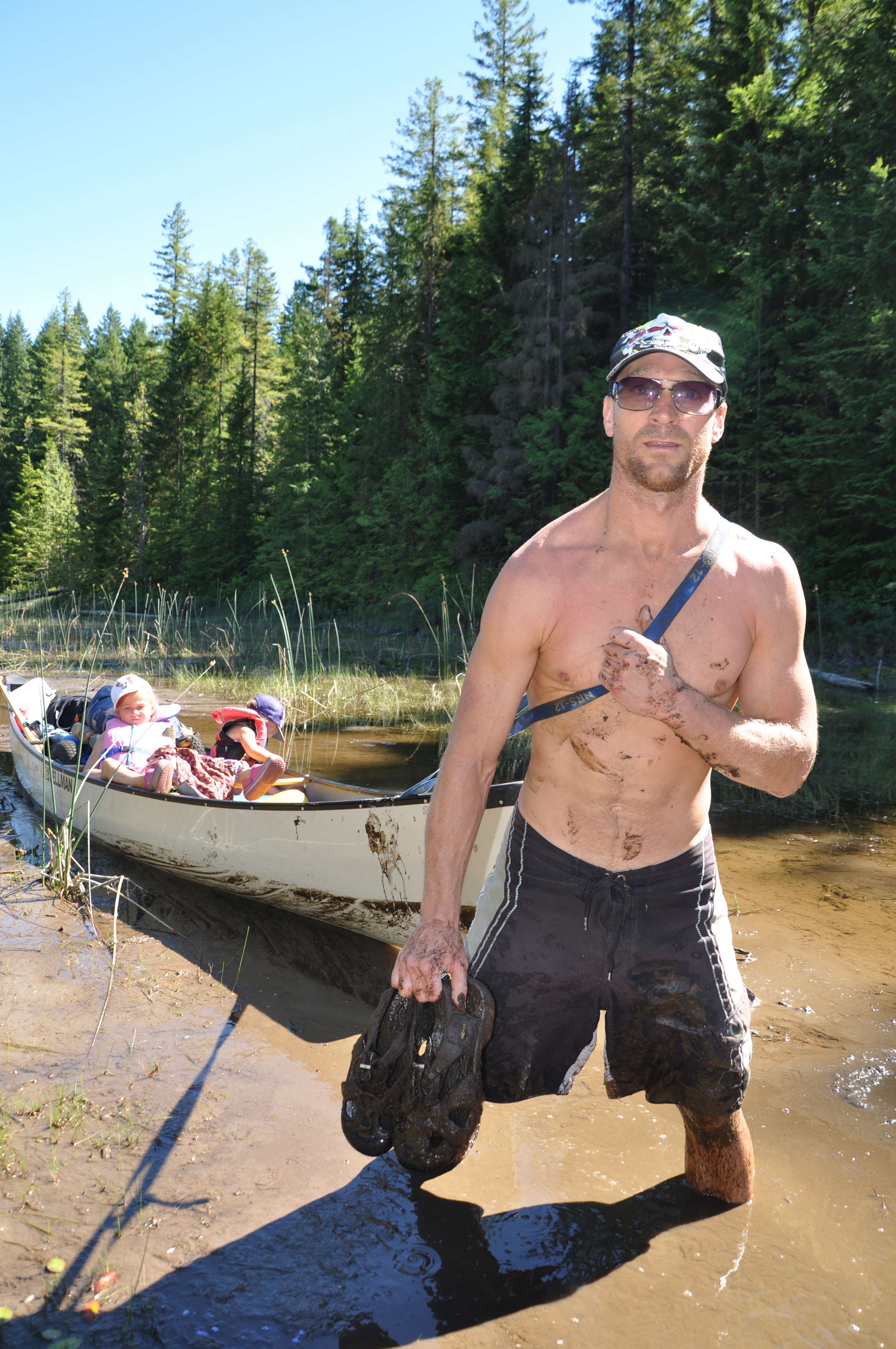
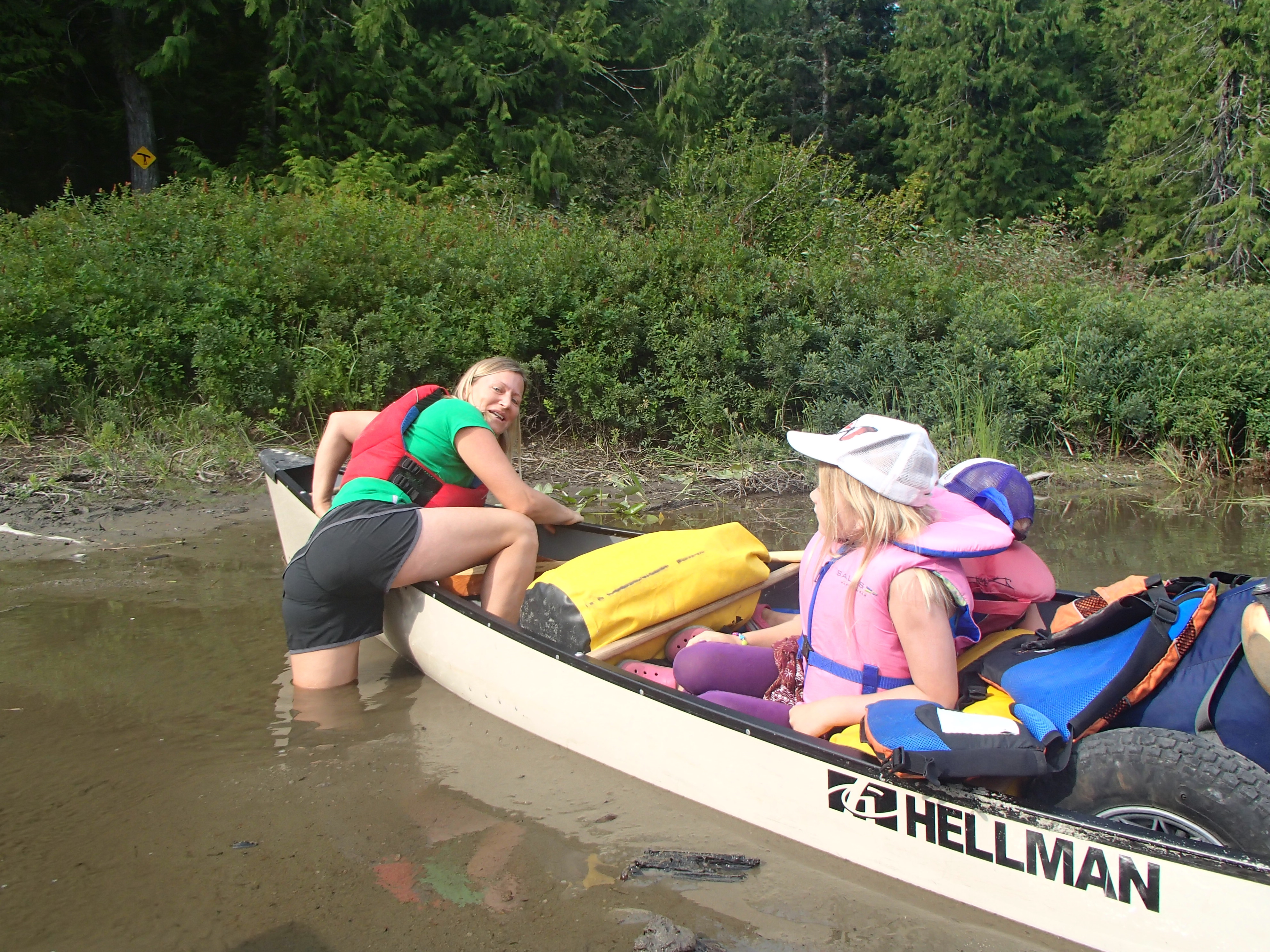


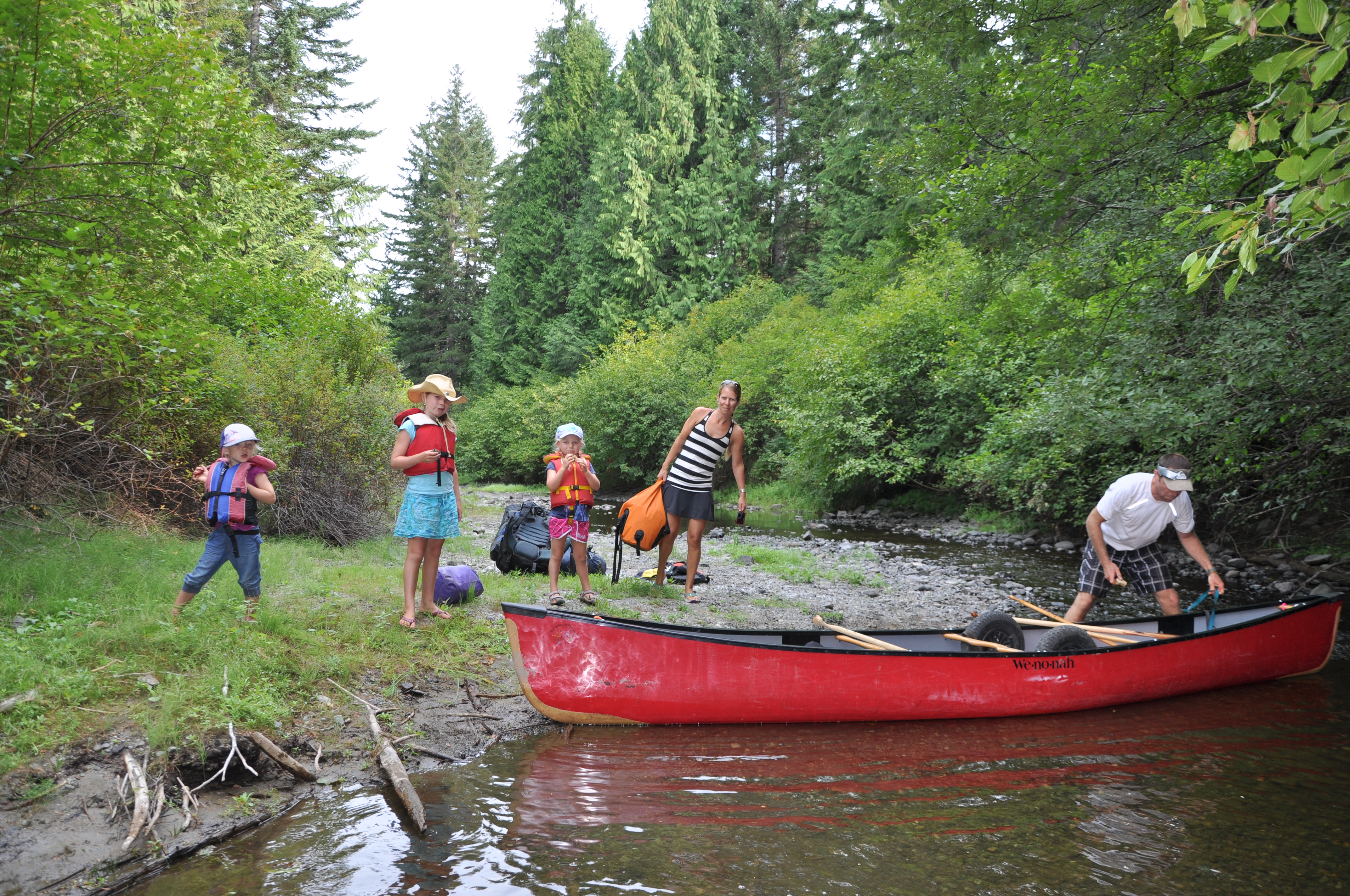
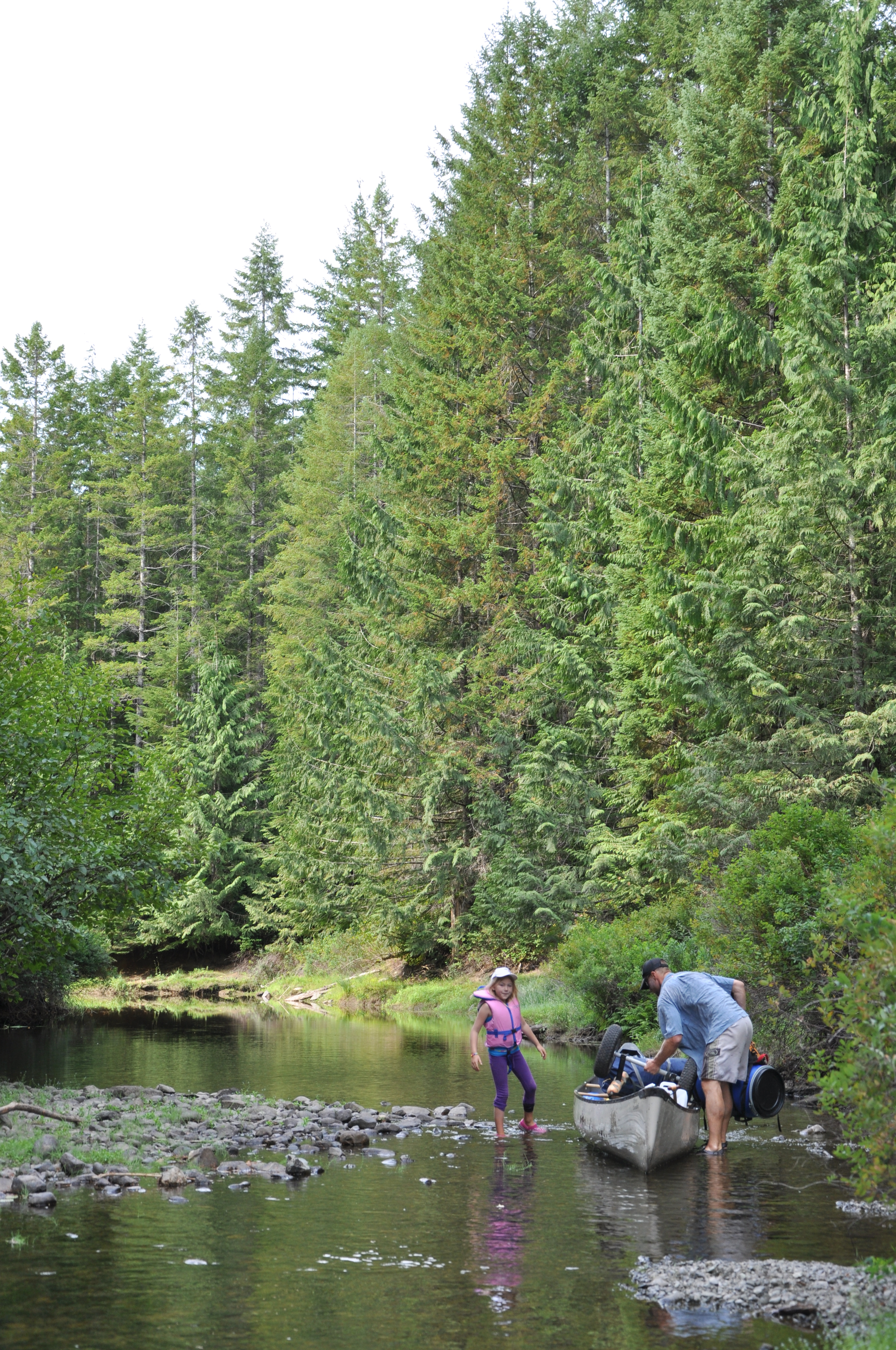
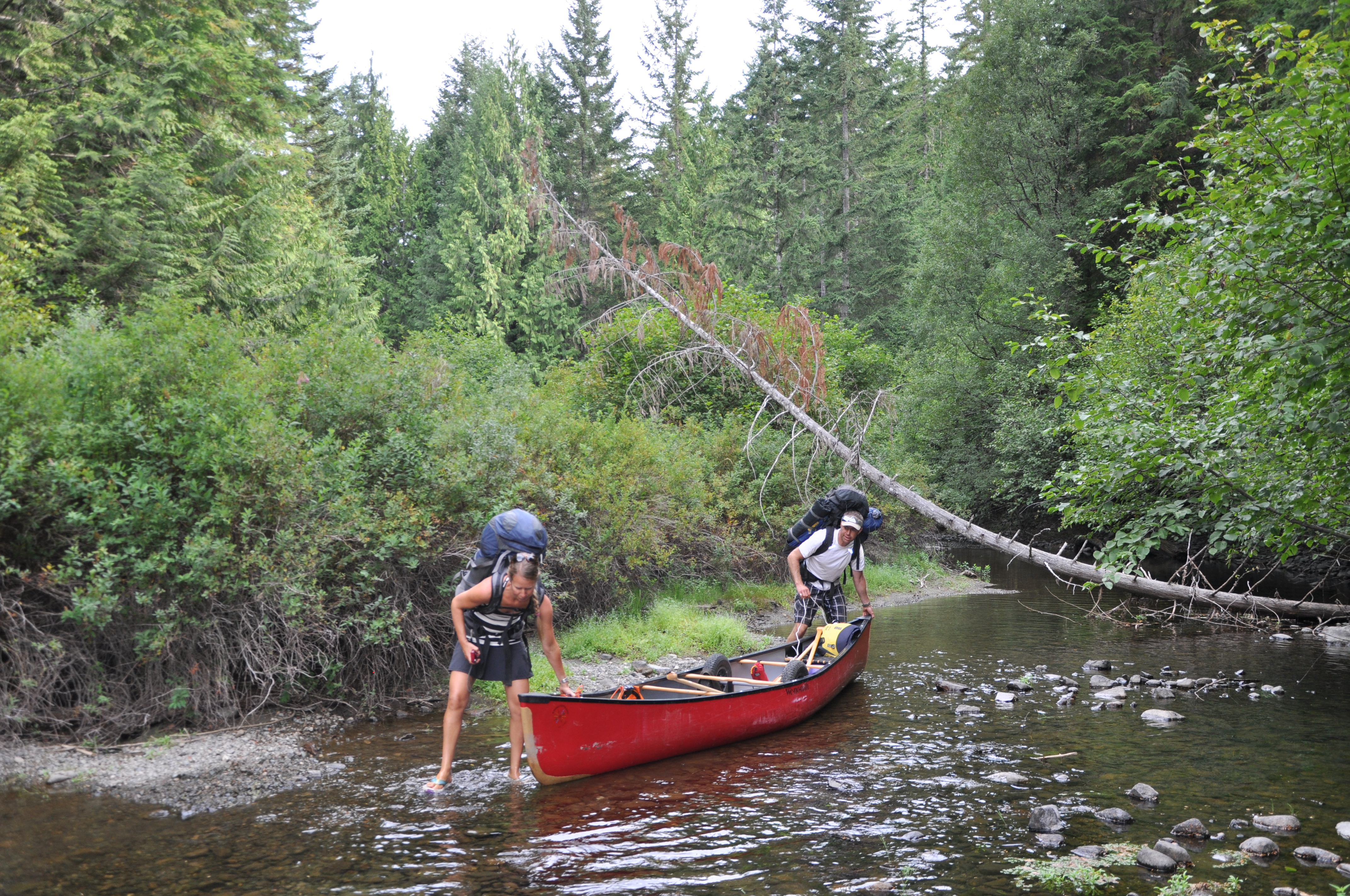


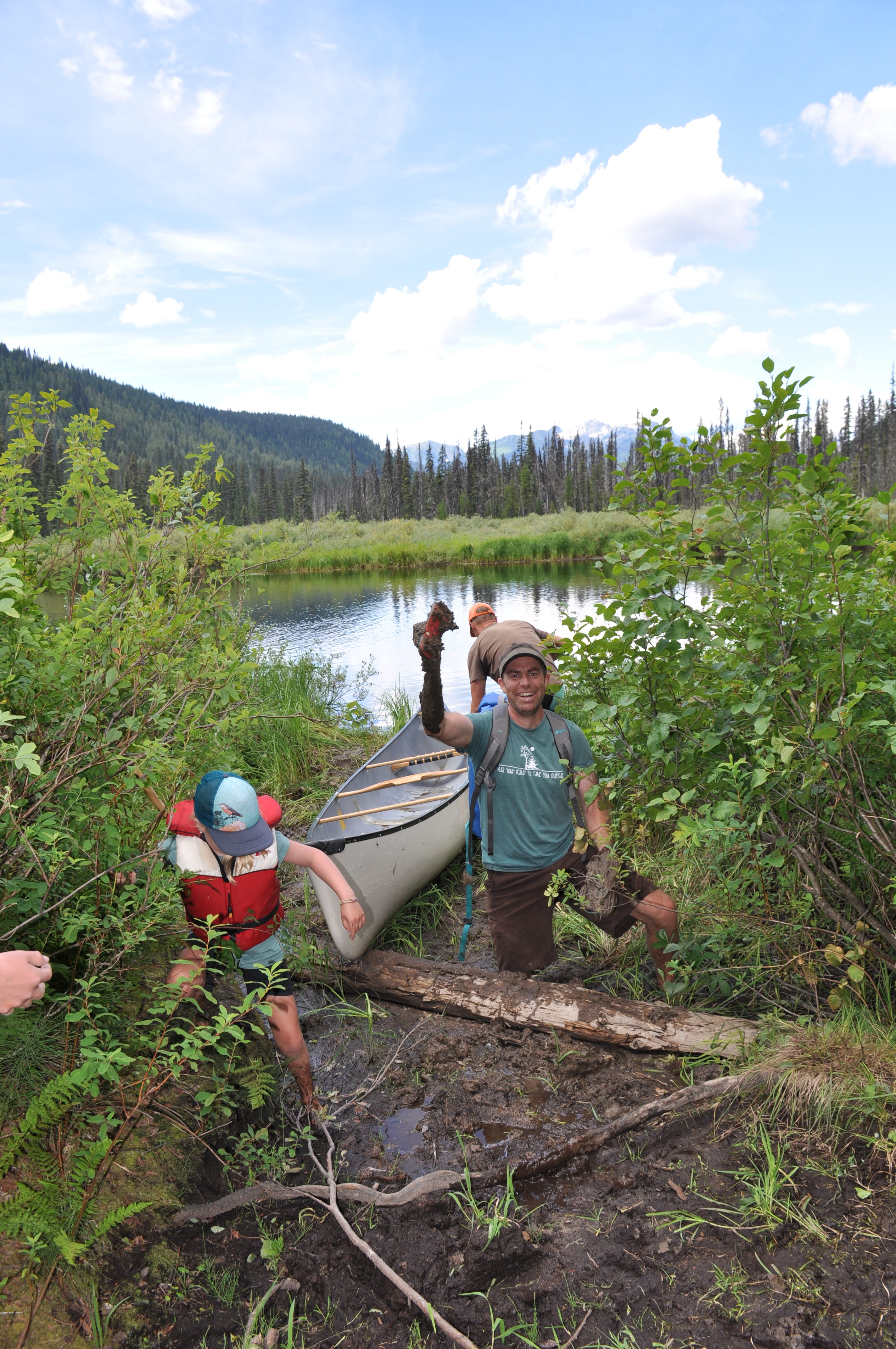
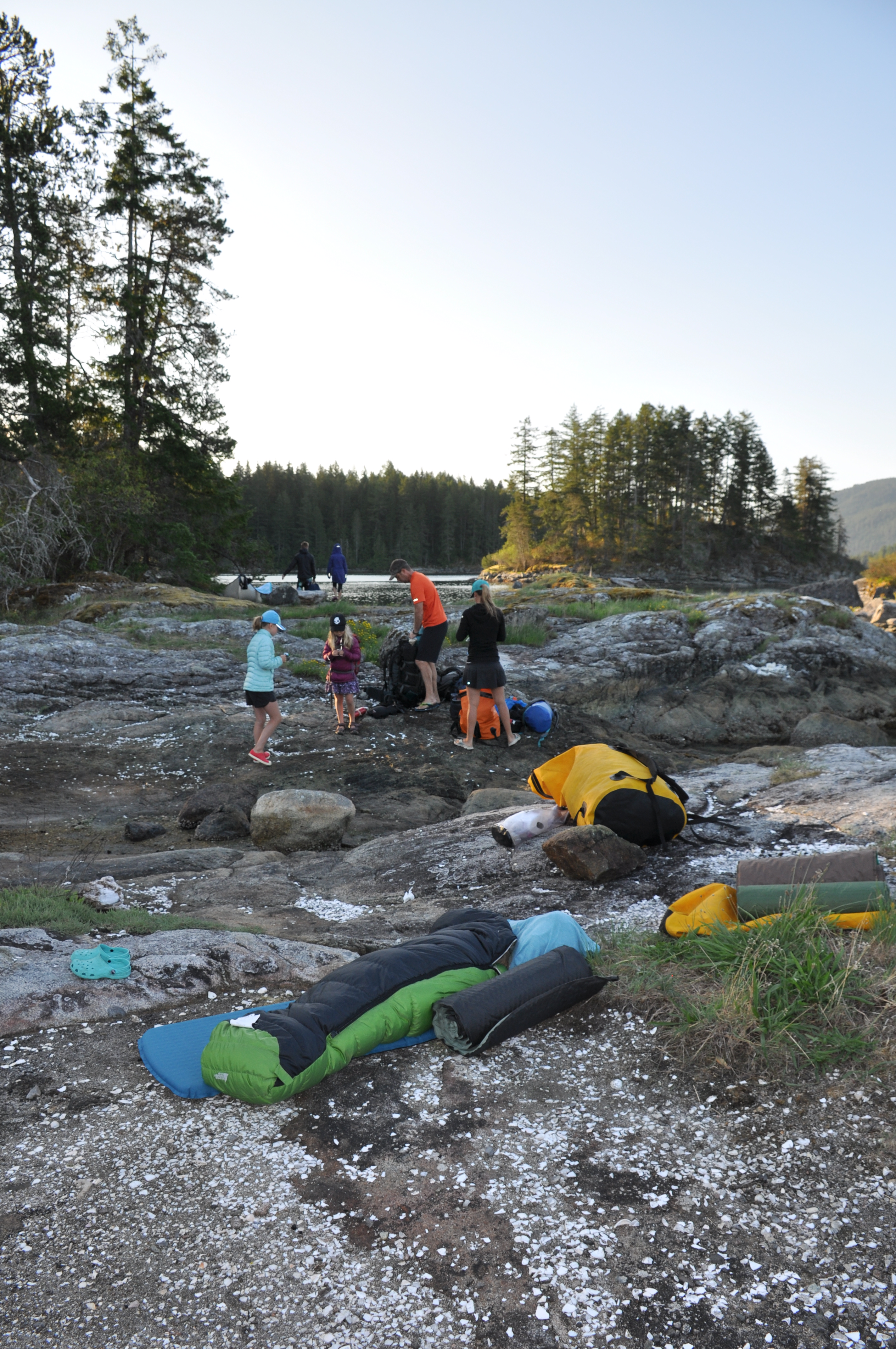
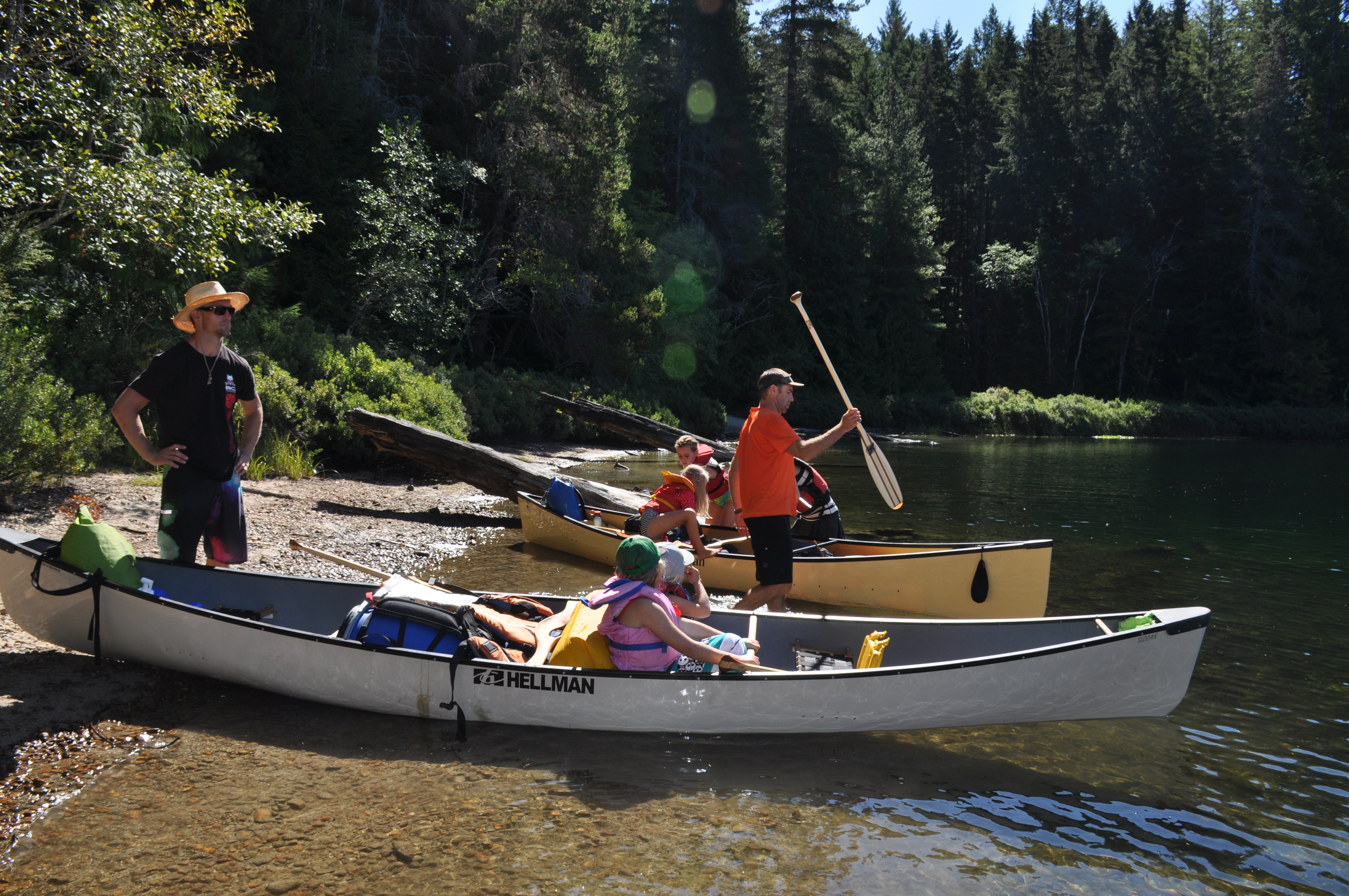
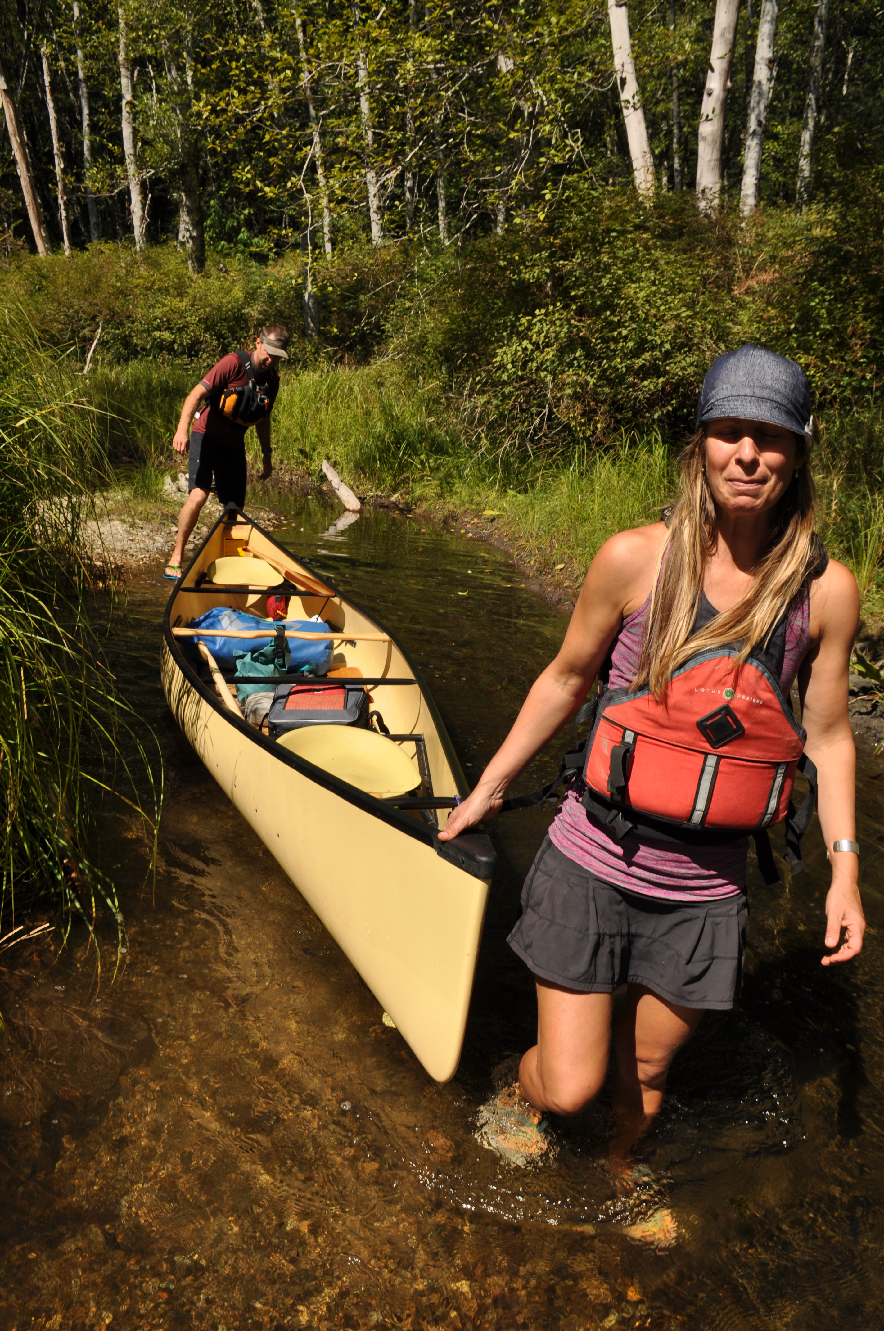
General Description: A loop consisting of 13 lakes linked together by lining creeks, wading through hip deep mud and a couple long road portages. Be prepared to schlep (load / unload / carry / drag canoes and gear) many, many times at low water. Beautiful campsites with water access only scattered along the route. We packed canoe carts for the longer portages which was really useful.
Level: Beginner with reasonable fitness
BC Parks Sayward Canoe Route brochure
Guidebook: A guide to the Sayward Forest Canoe Loop by Michael Gauthier
Total Route Length: 47.4km
Total Canoeing Length: 39.3km
Total Portage Length: 8.1km
Required time: 4-5 days unless you want to hoof it
Canoe Rental: Comox Valley Kayaks and Canoes


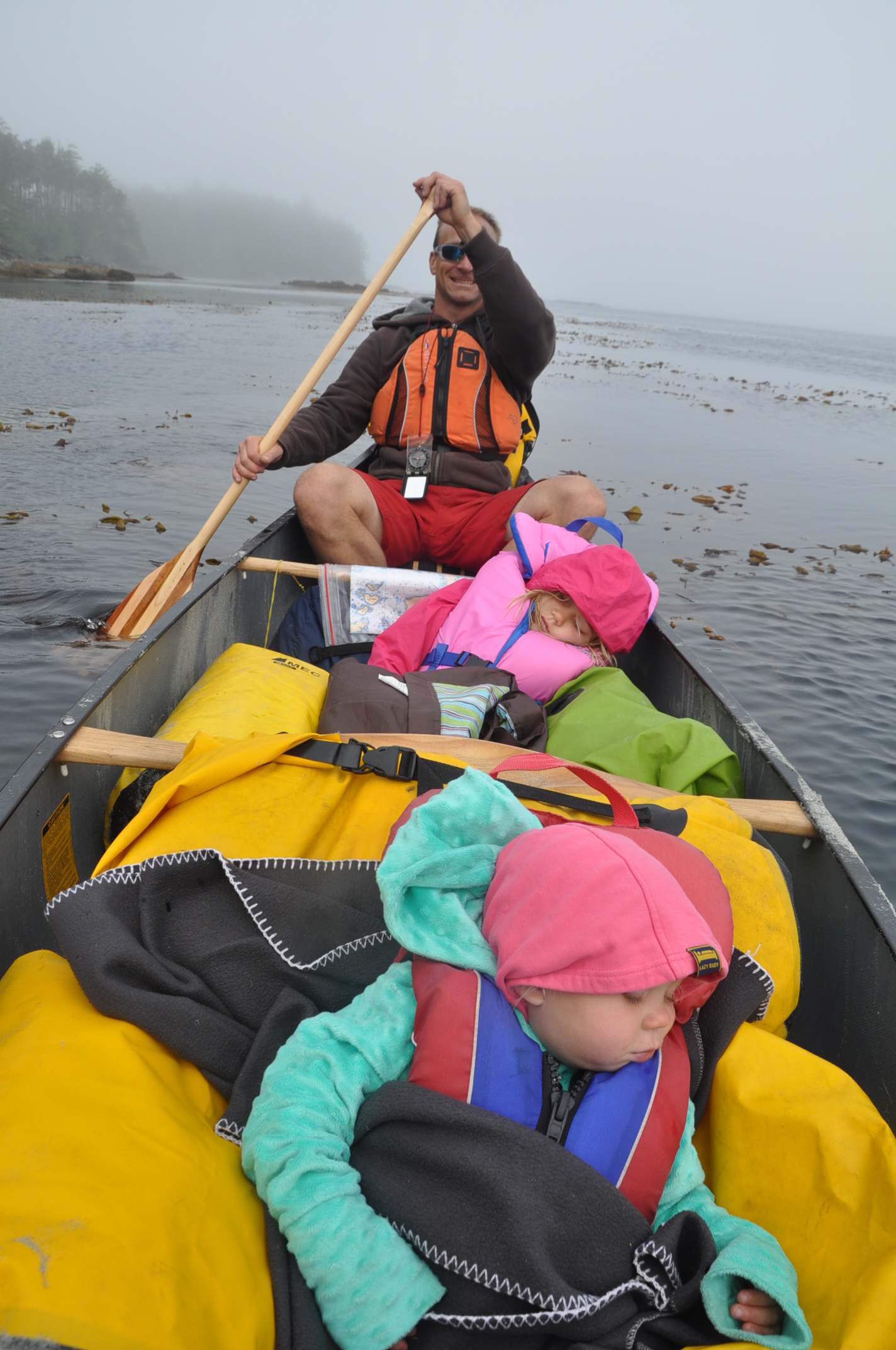


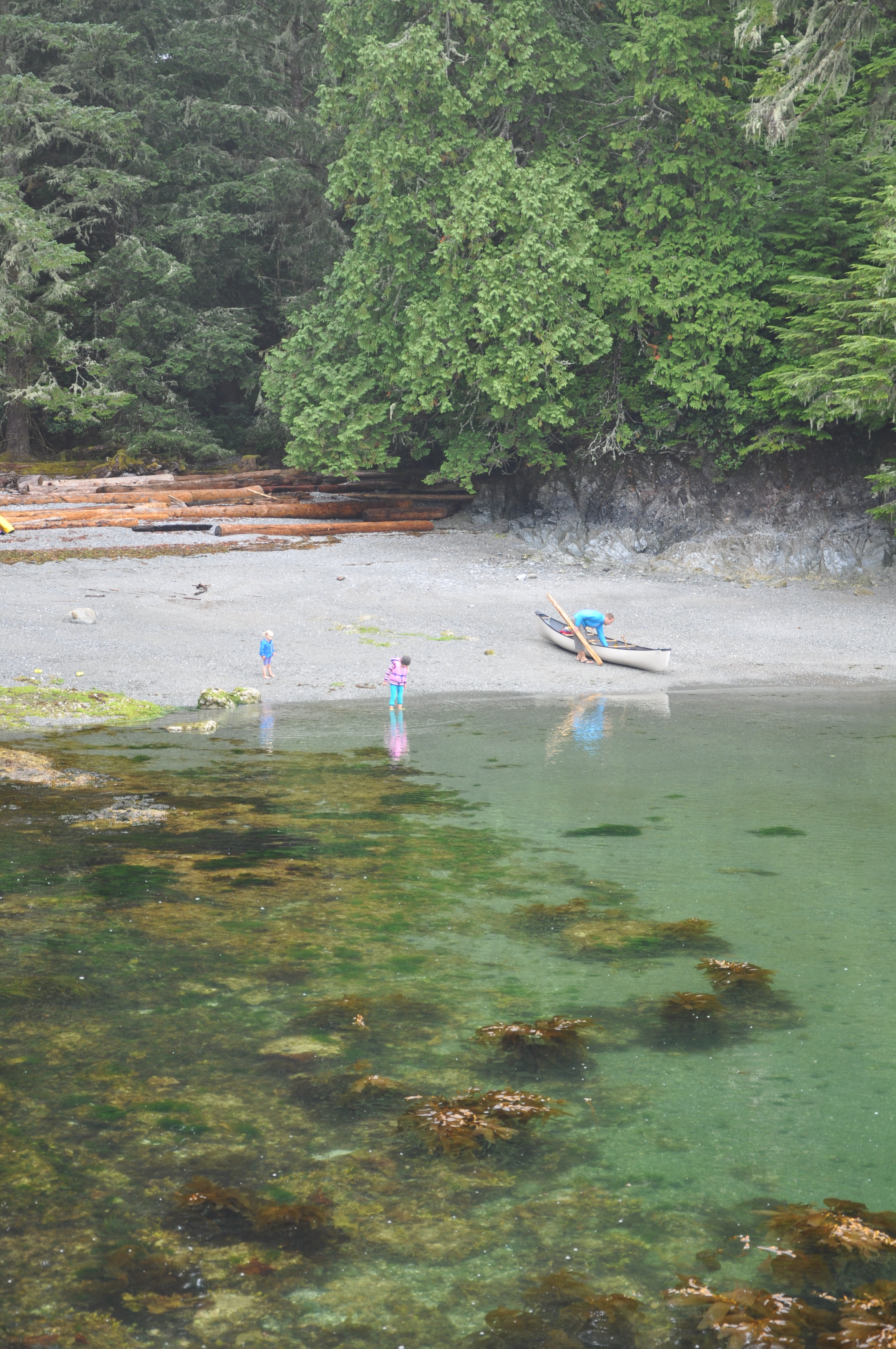


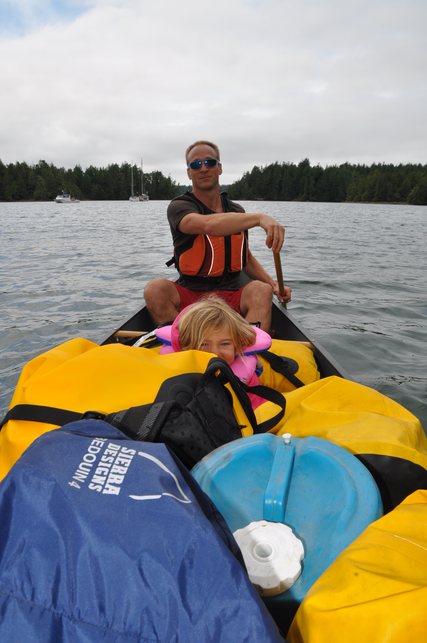
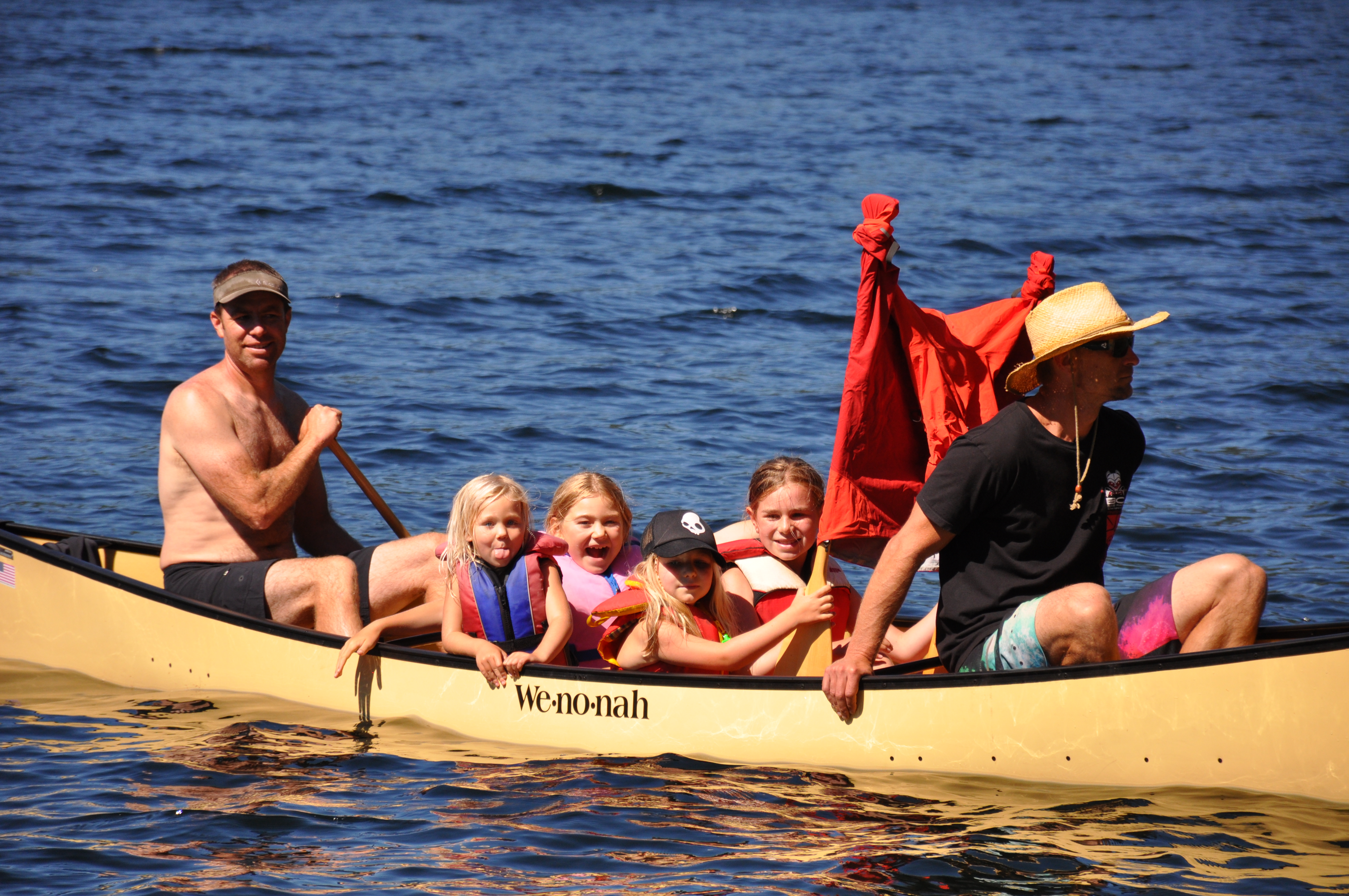
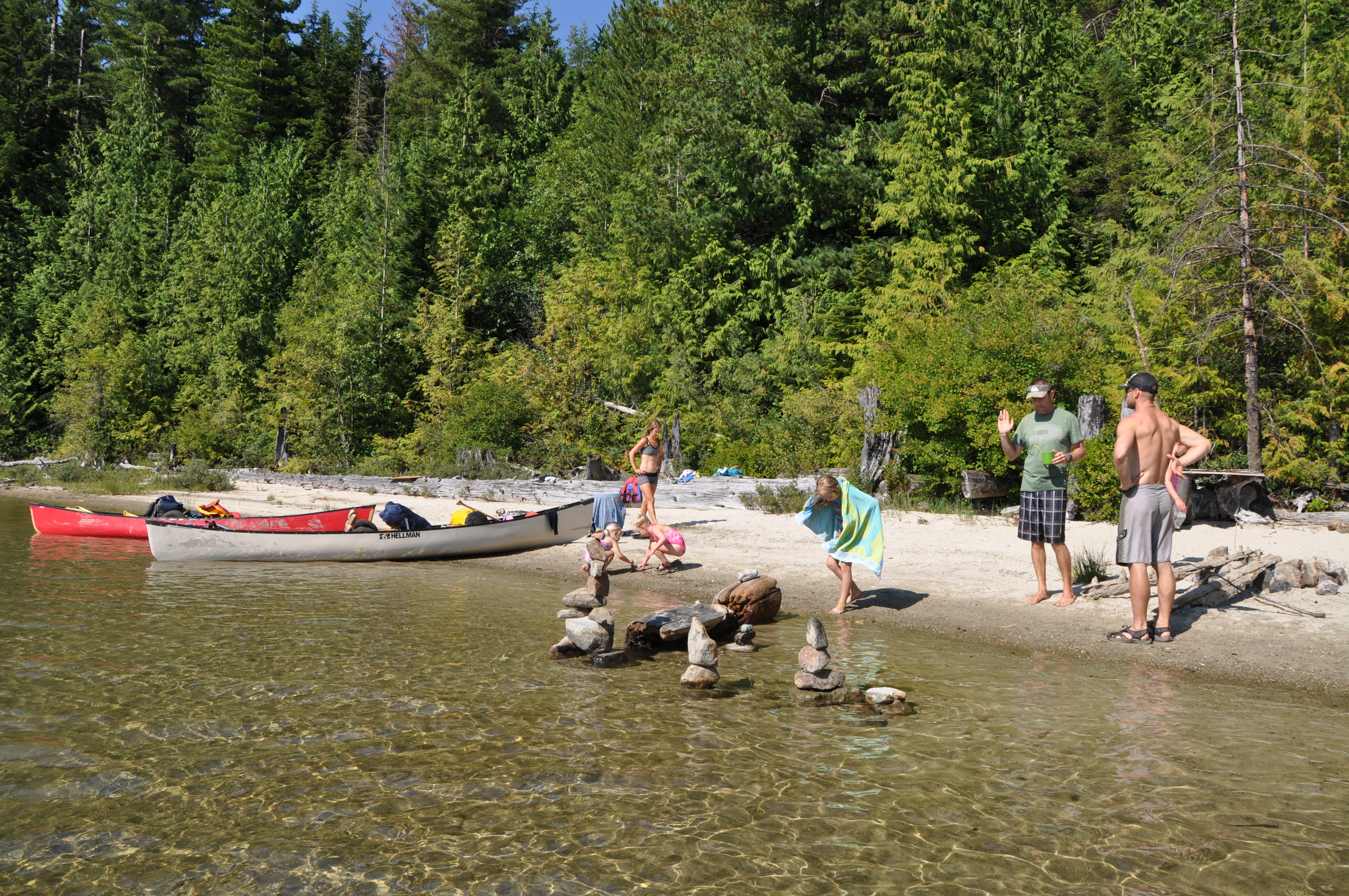
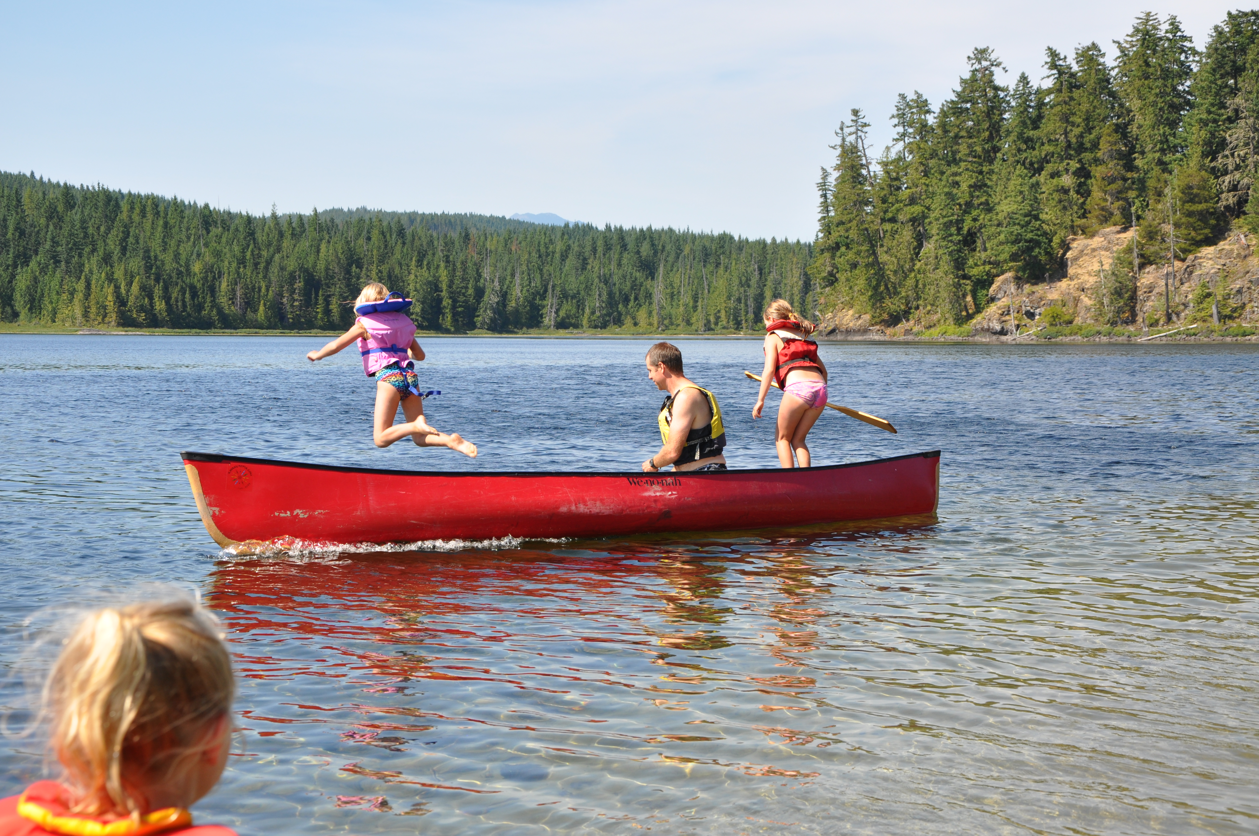
General Description: Paradise. Either paddle from Toquaht Bay or get a shuttle from one of the local transport companies. Generally short crossings between the may islands in the archipelago. Paddle with dolphins, porpoise, seals, sea lions and even humpbacks. Experience the feeling of canoeing through long period swell if conditions are glassy on the outside of Clarke and Benson Islands. See the water around your boat boil with herring balls. Camp on sandy beaches and perhaps see the stunted island deer or local wolves. Currently camping during the high season must now be booked on the Parks Canada website.
Official Maps and Information
https://www.pc.gc.ca/en/pn-np/bc/pacificrim/activ/visit4c/activ4
https://www.bcmarinetrails.org/76-paddle-experiences/2414-broken-group-islands-paddling
Difficulty: Intermediate if departing from Toquaht Bay, Beginner if boat shuttle to Broken Group
Canoeing Distance: choose your own adventure
Portaging Distance: 0km
Transport:
http://gpocharters.com/watertaxi.html
Time: Plan on at least 5 days to enjoy relax and enjoy the area.
Toilets: Yes.
